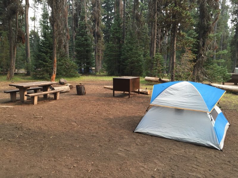
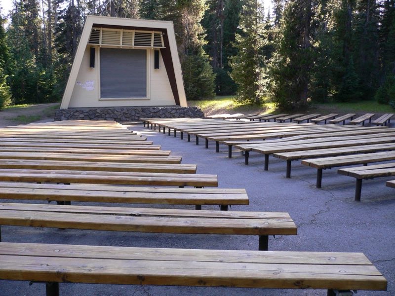
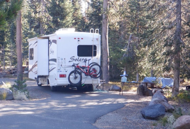
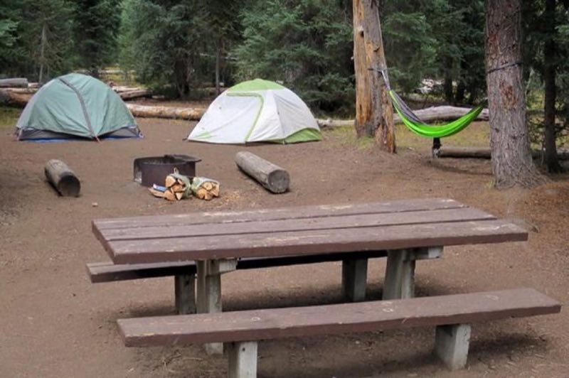
Photos: NPS Photo, NPS photo, NPS photo /2021 Mike Connolly · courtesy of National Park Service. Click a photo to enlarge.
Mazama Campground
Overview
Mazama Campground is open only in summer. It typically opens in June and closes in late September. The exact opening and closing dates are determined each year by the snow level in the camp sites, safety issues, and other factors. The campground is nestled in an old-growth forest at 6,000 ft. (1,829 m) in elevation.
- Operator
- National Park
- Camping types
- Tent, RV
- Sites
- 214 campsites
- Fee
- From $5 per night (confirm with the operator)
- Reservations
- Reservable online
- Phone
- 866-292-6720
Amenities
Location
Nearby adventures
Hikes and trailheads
- PCT - Oregon Section C
A long-distance route from Hwy 140 to Hwy 138.
Show on map - Annie Creek TrailheadShow on map
- Mazama Spur TrailheadShow on map
- Highway 62-Pacific Crest Trail TrailheadShow on map
- Fumarole Bay Trail
A trail starting near Wizard Island Trailhead, maintained by National Park Service.
Show on map - Wizard Island Summit Trail
A loop trail starting near Wizard Island Trailhead, maintained by National Park Service.
Show on map
Scenic sights
- Arant PointShow on map
- Munson PointShow on map
- Duwee Falls
Duwee Falls is a steep tiered waterfall on Munson Creek, a tributary of the Klamath River, that plunges into a gaping canyon within the Crater Lake National Park in the U.S. state of Oregon. Wikipedia
Show on map - Discovery PointShow on map
- Sinnott MemorialShow on map
Trail and sight data: OpenStreetMap contributors (ODbL). Text marked Wikipedia is from Wikipedia under CC BY-SA 4.0, lightly shortened.
Reviews
Data sources
Listing details come from the sources above and may be out of date. Confirm fees, dates and closures with the operator before you travel.