Photos: NPS / Neal Herbert, NPS/Renkin · courtesy of National Park Service. Click a photo to enlarge.
Mammoth Campground
Overview
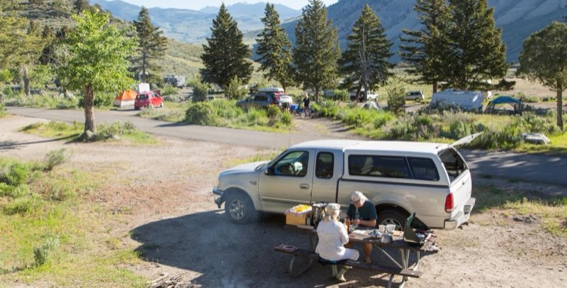
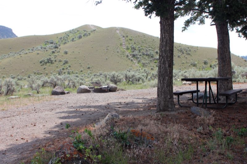
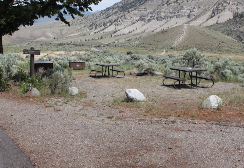
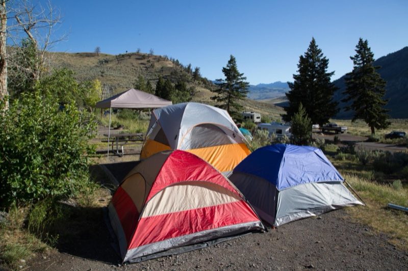
The only campground in the park open year-round, Mammoth Campground—elevation 6,200 feet (1890 m)—is located five miles south of the park's North Entrance. Scattered juniper and Douglas fir trees provide shade during hot summer months. The campground is close to fishing, hiking, and the Mammoth Hot Springs.
- Operator
- National Park
- Camping types
- Tent, RV
- Sites
- 85 campsites
- Fee
- From $25 per night (confirm with the operator)
- Reservations
- Reservable online
- Phone
- 307-344-7381
Amenities
Location
Nearby adventures
Hikes and trailheads
- Beaver Ponds Trail
A trail starting near Sepulcher Mountain Trailhead, maintained by NPS.
Show on map - Beaver Ponds Trail
A trail maintained by NPS.
Show on map - Osprey Falls TrailShow on map
- Forces of the Northern Range Self-guided Trail
Follow this self-guided trail along a boardwalk that winds through the grassland of Yellowstone's northern range. National Park Service
Show on map - Forces of the Northern Range Self-guided Trail
Follow this self-guided trail along a boardwalk that winds through the grassland of Yellowstone's northern range. National Park Service
Show on map - Forces of the Northern Range Self-guided Trail
Follow this self-guided trail along a boardwalk that winds through the grassland of Yellowstone's northern range. National Park Service
Show on map
Scenic sights
- Capitol Hill
A peak near Beaver Ponds Trail.
Show on map - Mount Everts
Mount Everts, elevation 7,846 feet, is a prominent mountain peak in Yellowstone National Park, Wyoming, near Mammoth Hot Springs. Wikipedia
Show on map - Viewpoint to the cascade
A viewpoint near Beaver Ponds Trail.
Show on map - Rustic Falls
A waterfall along Bunsen Peak Trail.
Show on map - Undine Falls
A 59-foot waterfall.
Show on map
Trail and sight data: OpenStreetMap contributors (ODbL) and National Park Service. Text marked Wikipedia is from Wikipedia under CC BY-SA 4.0, lightly shortened.
Reviews
Data sources
Listing details come from the sources above and may be out of date. Confirm fees, dates and closures with the operator before you travel.