Photos: NPS/Renkin · courtesy of National Park Service. Click a photo to enlarge.
Madison Campground
Overview
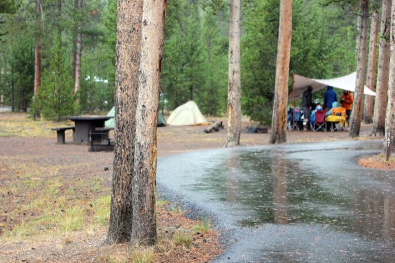
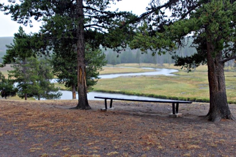
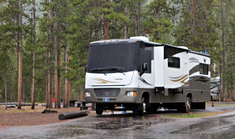
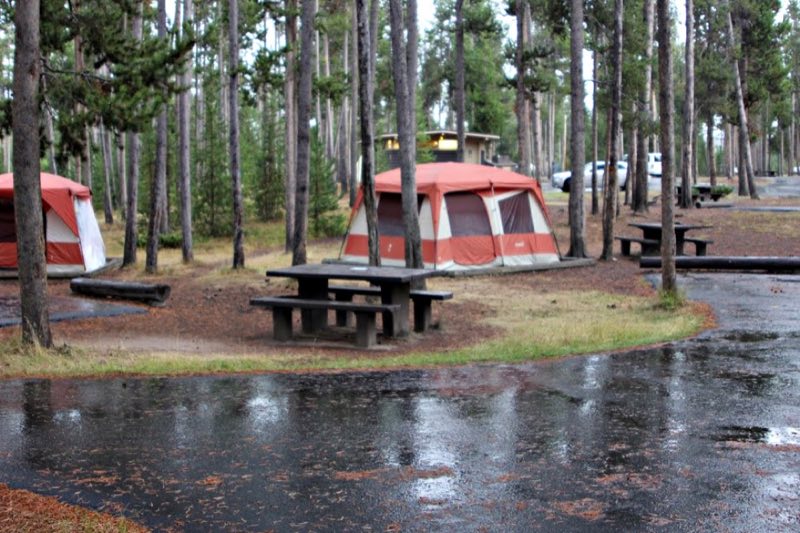
Madison Campground—elevation 6,800 feet (2073 m)—sits about 14 miles east from the town of West Yellowstone and 16 miles north of Old Faithful. Nearby, the Gibbon and Firehole rivers join to form the Madison River. In early summer, meadows teem with wildflowers and bison.
- Operator
- National Park
- Camping types
- Tent, RV
- Sites
- 276 campsites
- Fee
- From $10 per night (confirm with the operator)
- Reservations
- Reservable online
- Phone
- 307-344-7311
Amenities
Location
Nearby adventures
Hikes and trailheads
- Purple Mountain Trail
You climb 1,500 feet (0.47 km) in 3 miles (4.8 km) to a panoramic view of the Gibbon and Madison rivers. OpenStreetMap
Show on map - Harlequin Lake Trail
Follow the gentle, uphill trail to a small lake. OpenStreetMap
Show on map - Gneiss Creek TrailheadShow on map
- Fountain Flats Drive / Freight Road TrailheadShow on map
- Mary Mountain West TrailheadShow on map
- Fairy Falls Trail
A loop trail.
Show on map
Mountain biking
- Abandoned Railroad Bed Bike Trail
An abandoned railroad bed located near the north entrance of Yellowstone makes a beautiful bike trail. National Park Service
Show on map - Abandoned Railroad Bed Bike Trail
An abandoned railroad bed located near the north entrance of Yellowstone makes a beautiful bike trail. National Park Service
Show on map - Abandoned Railroad Bed Bike Trail
An abandoned railroad bed located near the north entrance of Yellowstone makes a beautiful bike trail. National Park Service
Show on map - Fountain Freight Road Bike Trail
Six miles north of Old Faithful, bikes are allowed on the Fountain Freight Road, an old dirt and gravel road now closed to autos. National Park Service
Show on map
Scenic sights
- National Park Mountain
National Park Mountain (7,553 feet) is in Yellowstone National Park in the U.S. state of Wyoming. Wikipedia
Show on map - Firehole Falls
Firehole Falls is a waterfall on the Firehole River in southwestern Yellowstone National Park in the United States. Wikipedia
Show on map - Purple Mountain
Purple Mountain, elevation 8,392 feet, is a mountain peak in the southern section of the Gallatin Range in Yellowstone National Park, in the U.S. state of Wyoming. Wikipedia
Show on map - Terrace SpringsShow on map
- Cascades of the FireholeShow on map
Trail and sight data: OpenStreetMap contributors (ODbL) and National Park Service. Text marked Wikipedia is from Wikipedia under CC BY-SA 4.0, lightly shortened.
Reviews
Data sources
Listing details come from the sources above and may be out of date. Confirm fees, dates and closures with the operator before you travel.