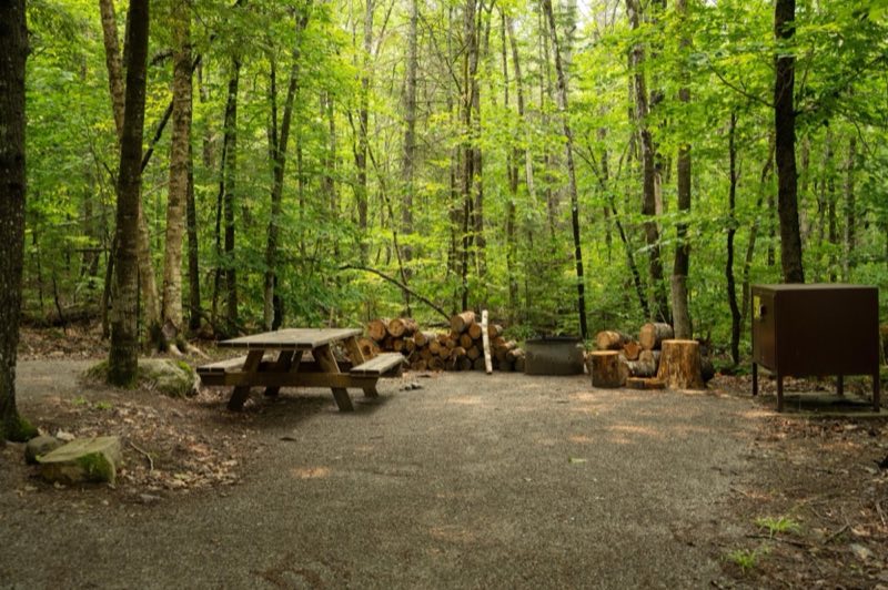
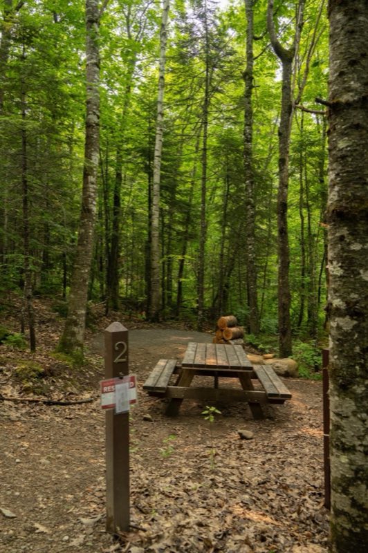
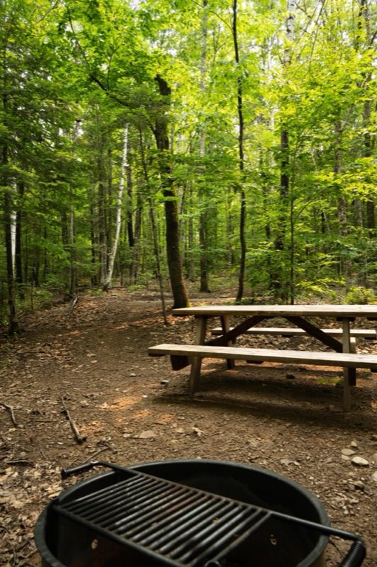
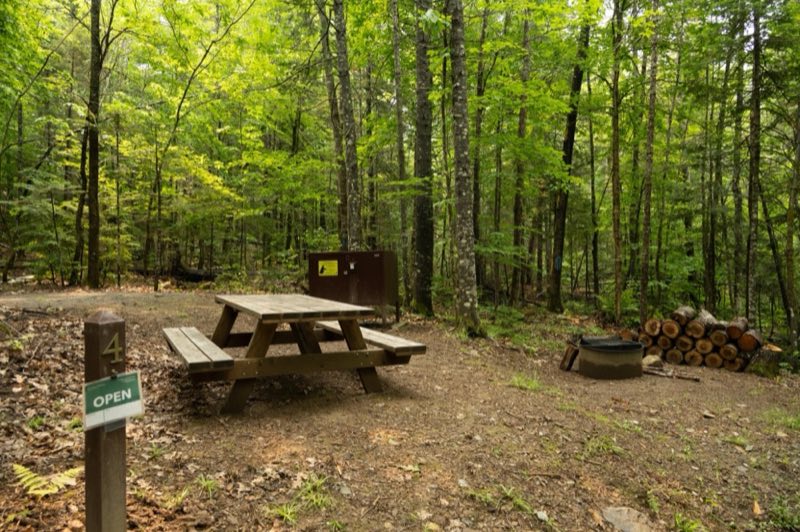
Photos: NPS / Grace Kirk · courtesy of National Park Service. Click a photo to enlarge.
Lunksoos Campsites
Overview
The Lunksoos campground area has a total of 7 campsites near the East Branch of the Penobscot River. Campsite 1 is an ADA site, sites 2-5 are individual sites, and sites 6 and 7 are group sites. Campers will park their vehicles in the parking lot and walk their equipment to their site.
- Operator
- National Park
- Camping types
- Tent, Free camping
- Sites
- 7 campsites
- Fee
- Free
- Reservations
- Reservable online
- Phone
- 207-456-6001
Amenities
Location
Nearby adventures
Hikes and trailheads
- Deasey Ponds Trail
Hike to Deasey Ponds by taking an easy 1.4 mile (round-trip) trail located at the southern area of the monument. National Park Service
Show on map - Hike to Deasey Mountain
Hike to the top of Deasey Mountain for a scenic view of the monument and surrounding region. National Park Service
Show on map - Orin Falls Trail
Hike to Orin Falls for a magnificent view of a cascading waterfall. National Park Service
Show on map - International Appalachian Trail New-Brunswick
The International Appalachian Trail was originally a hiking trail which ran from Katahdin Woods and Waters National Monument, in Maine, through New Brunswick, to the Gaspé Peninsula of… Wikipedia
Show on map - Hike To Barnard MountainShow on map
- Lichen Trail
Enjoy a 1.2 mile (1.9km) day hike on the Lichen Trail at the south section of the monument with a wonderful view of Katahdin. National Park Service
Show on map
Mountain biking
- Bike the Katahdin Loop Road
The Katahdin Loop Road is a 17 mile loop starting on the Swift Brook Road past Sandbank Stream Campground. National Park Service
Show on map - Bike to Orin Falls
The Orin Falls Trail is a 6 mile out-and-back double track multiuse trail that leads you to a beautiful view of the Wassataquoik Stream. National Park Service
Show on map - Bike the IAT - Wassataquoik Stream Loop
Bike the 11 miles IAT-Wassataquoik Stream Loop at the southern section of Katahdin Woods and Waters National Monument. National Park Service
Show on map - Bike to Big Spring Brook Hut
Take this 12 mile out-and-back route starting at Haskell Gate to Big Spring Brook Hut. National Park Service
Show on map
Rivers and rafting
- Paddle the East Branch of the Penobscot River (From Lunksoos Boat Launch to Big Seboeis)
Enjoy paddling the East Branch of the Penobscot River in Katahdin Woods and Waters! National Park Service
Show on map
Scenic sights
- Lookout MountainShow on map
- Hunt MountainShow on map
- Deasey Mountain Lookout TowerShow on map
- Orin Falls
A waterfall along Orin Falls Trail.
Show on map - The Hulling MachineShow on map
Climbing and snow sports
- Penobscot River Trails
A ski area, operated by Penboscto River Trails Inc.
Show on map
Trail and sight data: National Park Service and OpenStreetMap contributors (ODbL). Text marked Wikipedia is from Wikipedia under CC BY-SA 4.0, lightly shortened.
Reviews
Data sources
Listing details come from the sources above and may be out of date. Confirm fees, dates and closures with the operator before you travel.