Photos: NPS / Neal Herbert, NPS/Renkin · courtesy of National Park Service. Click a photo to enlarge.
Lewis Lake Campground
Overview
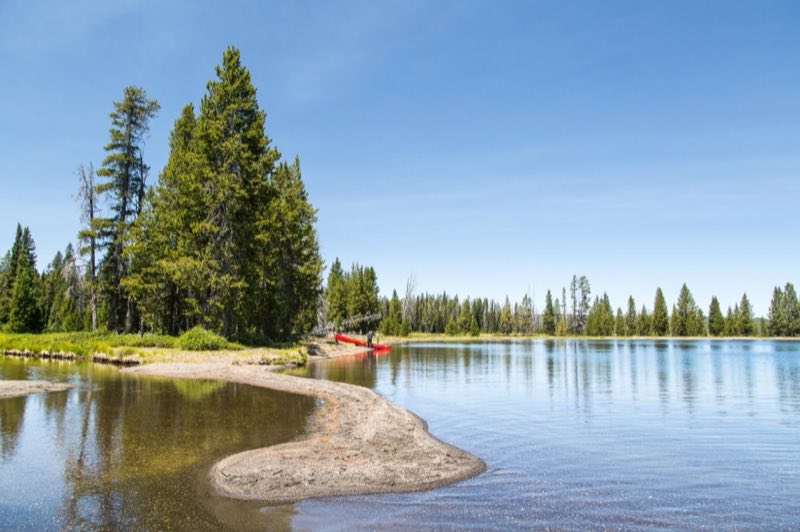
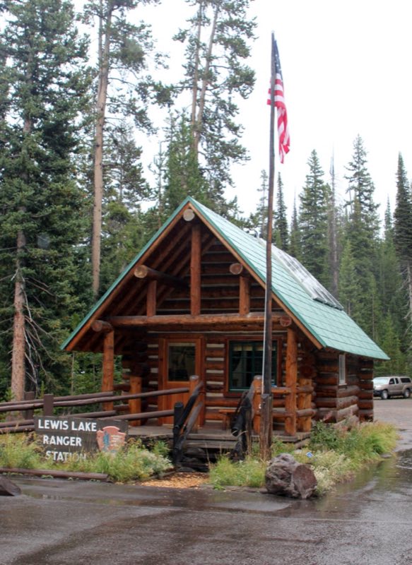
Lewis Lake Campground—elevation 7,800 ft (2377 m)—is about eight miles from the South Entrance and a short walk from the southeast shore of Lewis Lake. A boat ramp is located near the campground information and registration area. Canoes, kayaks, and motor boats are allowed on Lewis Lake.
- Operator
- National Park
- Camping types
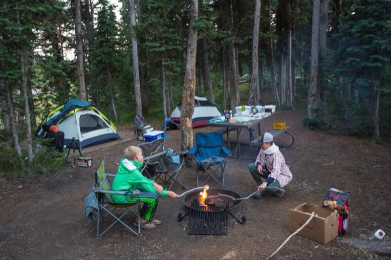
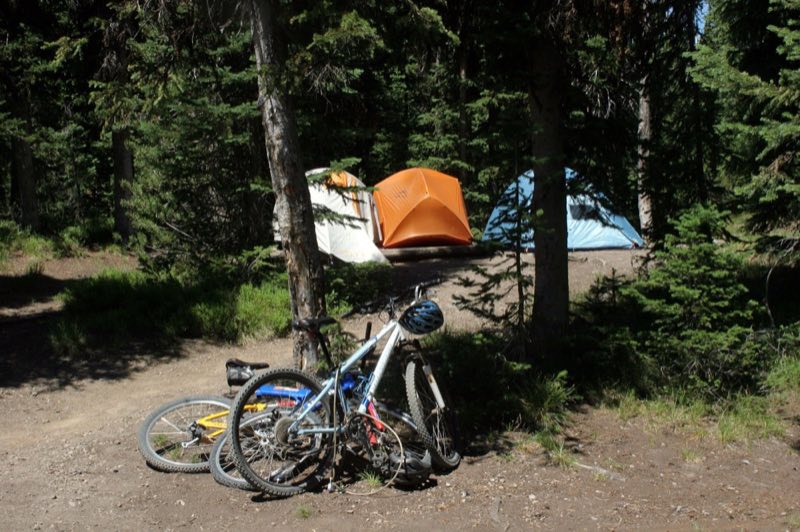
- Tent
- Sites
- 85 campsites
- Fee
- From $20 per night (confirm with the operator)
- Reservations
- Reservable online
- Phone
- 307-344-7381
Amenities
Location
Nearby adventures
Hikes and trailheads
- CDT - Wyoming SectionShow on map
- Phantom / Pitchstone TrailheadShow on map
- Shoshone / Dogshead TrailheadShow on map
- Riddle Lake TrailheadShow on map
- Fairy Falls Trail
A loop trail.
Show on map
Mountain biking
- Great Divide Mountain Bike Route
A long distance touring route from Banff, Alberta to Antelope Wells, New Mexico. OpenStreetMap
Show on map
Scenic sights
- Lewis Falls
The Lewis Falls are located on the Lewis River in Yellowstone National Park, Wyoming, United States. Wikipedia
Show on map - Factory HillShow on map
- Mount Sheridan
Mount Sheridan, elevation 10,313 feet, is a prominent mountain peak overlooking Heart Lake in the Red Mountains of Yellowstone National Park. Wikipedia
Show on map - Snake Hot SpringsShow on map
- Moose Falls
Moose Falls (height 30 feet) is a plunge type waterfall on Crawfish Creek in Yellowstone National Park. Wikipedia
Show on map
Climbing and snow sports
- Sleeping Giant Winter Sports AreaShow on map
Trail and sight data: OpenStreetMap contributors (ODbL). Text marked Wikipedia is from Wikipedia under CC BY-SA 4.0, lightly shortened.
Reviews
Data sources
Listing details come from the sources above and may be out of date. Confirm fees, dates and closures with the operator before you travel.