Photos: NPS Photo · courtesy of National Park Service. Click a photo to enlarge.
Kamloops Island Campground
Overview
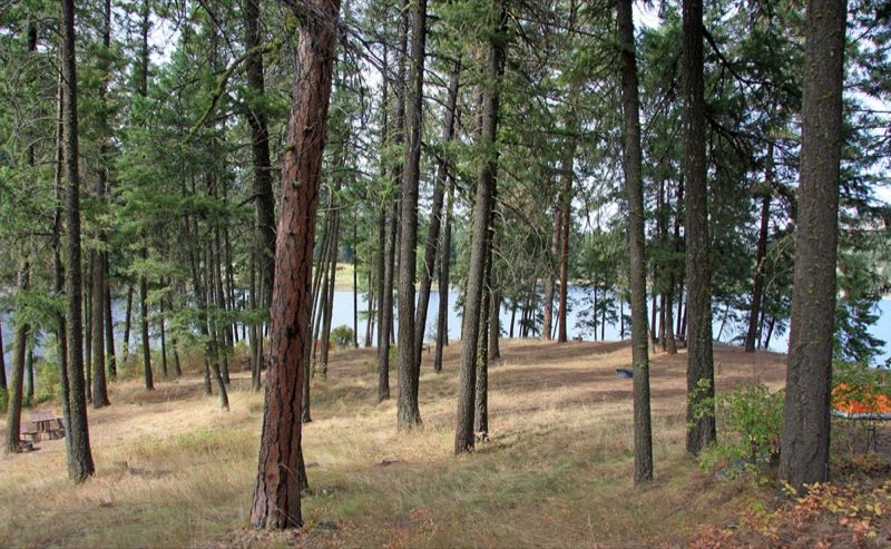
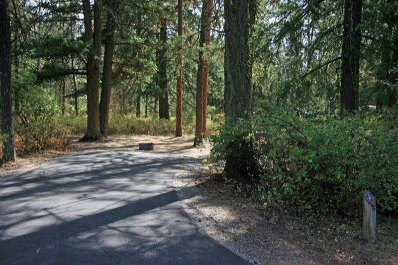
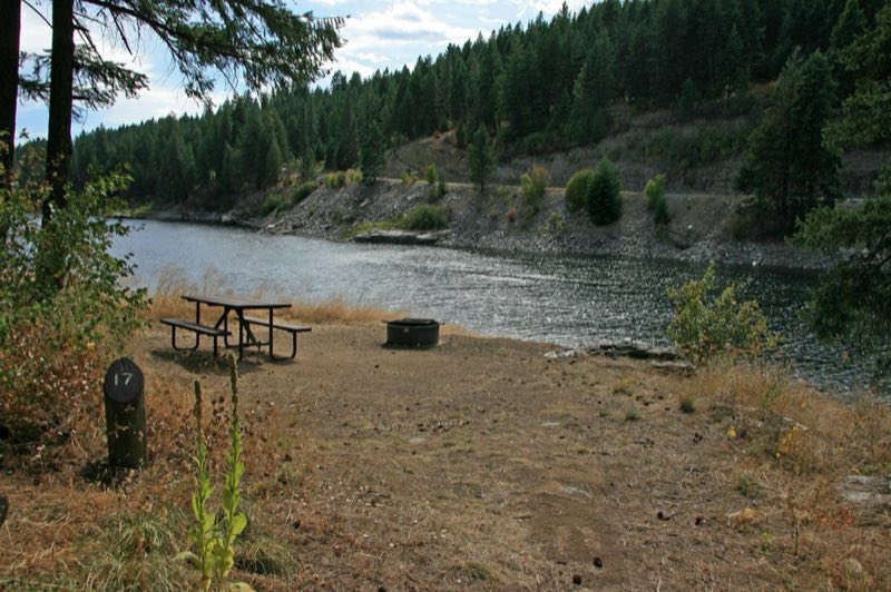
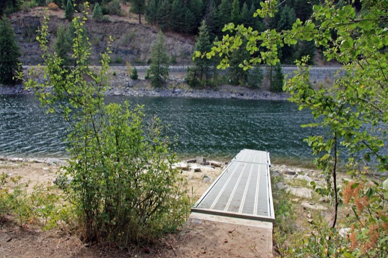
Kamloops Island is a small, shady campground at the mouth of the Kettle River. The main hub of campsites is tucked into the vegetation at the top and can fit tents and RVs. A cluster of walk-in tent sites is spread out in a grove of pines. Many campsites offer views of the river, lake, and surrounding landscape.
- Operator
- National Park
- Camping types
- Tent, RV
- Sites
- 17 campsites
- Fee
- From $23 per night (confirm with the operator)
- Reservations
- Reservable online
- Phone
- 509-754-7800
Amenities
Location
Nearby adventures
Hikes and trailheads
- Mission Point Trail
A half-mile loop trail along a relatively flat bluff takes you through standing pine forests to the edge of Lake Roosevelt. National Park Service
Show on map - Hike the Sherman Creek Wildlife Area
The Sherman Creek Wildlife Area is a cooperative trail system between the Washington Department of Fish and Wildlife and the National Park Service. National Park Service
Show on map - Trout Lake Trail #17
A trail starting near Hoodoo Canyon.
Show on map - Thompson RidgeShow on map
- Emerald Lake TrailShow on map
- Hoodoo Canyon
Access point for Trout Lake Trail #17.
Show on map
Mountain biking
- Thompson RidgeShow on map
- Little Pend Oreille TrailShow on map
- Radar Dome TrailShow on map
Scenic sights
- Upper Meyers FallsShow on map
- Douglas FallsShow on map
Climbing and snow sports
- 49 North Nordic Center
A Nordic (cross-country) ski area.
Show on map
Trail and sight data: National Park Service and OpenStreetMap contributors (ODbL).
Reviews
Data sources
Listing details come from the sources above and may be out of date. Confirm fees, dates and closures with the operator before you travel.