Photos: NPS Photo / A. Mattson, NPS Photo / E. Helton, NPS Photo / Swift, NPS Photo / A. Crane · courtesy of National Park Service. Click a photo to enlarge.
Jenny Lake Campground
Overview
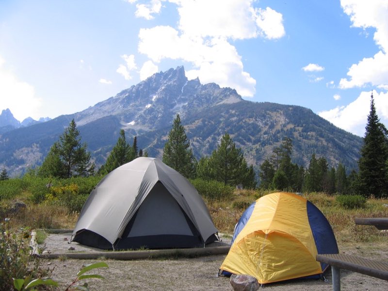
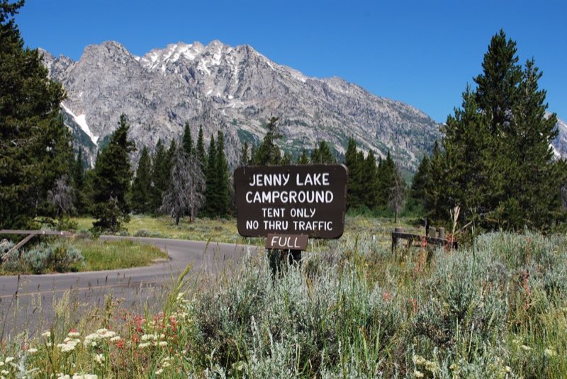
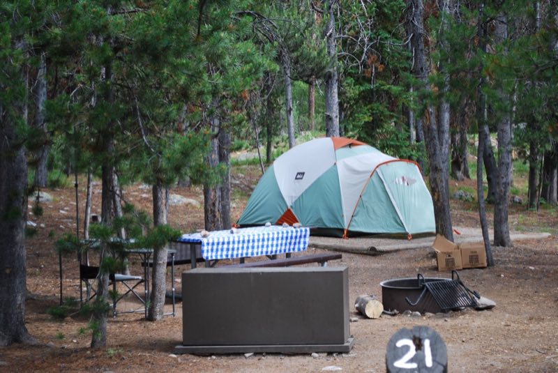
This small campground is a few hundred yards from the east shore of Jenny Lake. The campground straddles a glacial moraine covered with an open forest of lodgepole pine, subalpine fir and Douglas fir. Across the lake, Teewinot Mountain, Cascade Canyon and Mount St. John dominate the landscape.
- Operator
- National Park
- Camping types
- Tent
- Sites
- 61 campsites
- Fee
- From $13 per night (confirm with the operator)
- Reservations
- Reservable online
- Phone
- 307-543-2811
Amenities
Location
Nearby adventures
Hikes and trailheads
- Forks of Cascade Canyon
Travel deep into the Teton Range on this hike through Cascade Canyon. National Park Service
Show on map - Bearpaw and Trapper Lakes
Hike along the shore of Leigh Lake for panoramic views of Mount Moran. National Park Service
Show on map - Garnet Canyon Trail
Travel to the heart of the Teton Range on a strenuous hike into Garnet Canyon. National Park Service
Show on map - String Lake TrailShow on map
- Teton Crest TrailShow on map
- Jenny Lake TrailheadShow on map
Mountain biking
- Great Divide Mountain Bike Route
A long distance touring route from Banff, Alberta to Antelope Wells, New Mexico. OpenStreetMap
Show on map - Darby Canyon
A loop mountain-bike route.
Show on map - Stateline Rd DirtShow on map
- Stateline Rd DirtShow on map
Scenic sights
- Hidden Falls
Hidden Falls is located on Cascade Creek, Grand Teton National Park in the U.S. state of Wyoming. Wikipedia
Show on map - Jenny Lake OverlookShow on map
- Ribbon Cascade
Ribbon Cascade is located in Hanging Canyon, Grand Teton National Park in the U.S. state of Wyoming. Wikipedia
Show on map - Symmetry Spire
Symmetry Spire (10,565–10,645 feet) is located in the Teton Range, Grand Teton National Park in the U.S. state of Wyoming. Wikipedia
Show on map - Inspiration PointShow on map
Climbing and snow sports
- Teton Park Road in Winter
The Teton Park Road is open to skiing, snowshoeing and walking during winter from Taggart Lake Trailhead to the Signal Mountain Lodge. National Park Service
Show on map
Trail and sight data: National Park Service and OpenStreetMap contributors (ODbL). Text marked Wikipedia is from Wikipedia under CC BY-SA 4.0, lightly shortened.
Reviews
Data sources
Listing details come from the sources above and may be out of date. Confirm fees, dates and closures with the operator before you travel.