Photos: NPS/Renkin, NPS · courtesy of National Park Service. Click a photo to enlarge.
Indian Creek Campground
Overview
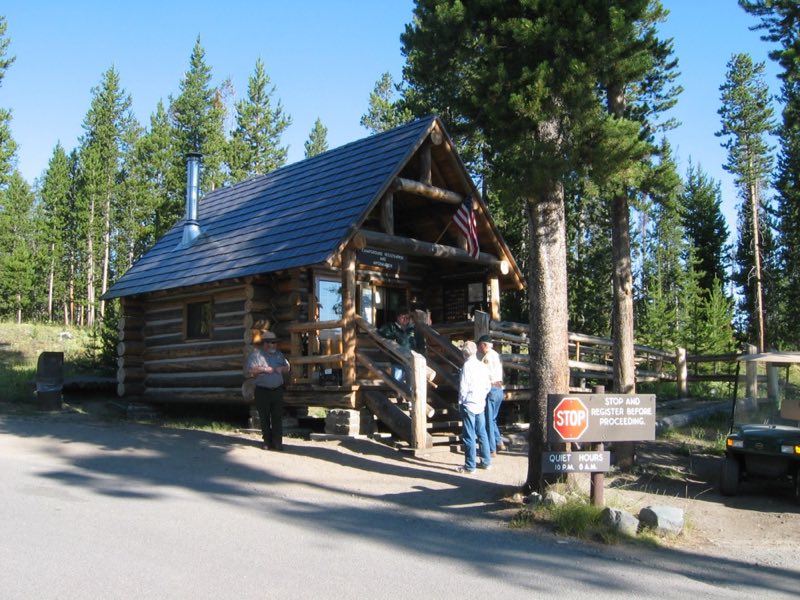
Located about eight miles south of Mammoth Hot Springs on the road to Norris, Indian Creek Campground—elevation 7,300 feet (2225 m)—sits near the base of the Gallatin Mountains and offers breathtaking views of Electric Peak. The area offers easy access to fishing and hiking.
- Operator
- National Park
- Camping types
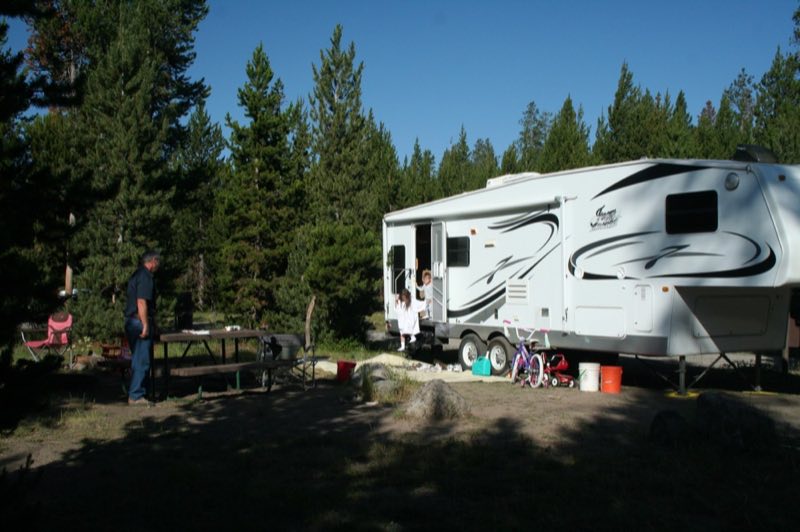
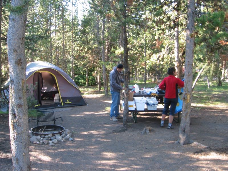
- Tent, RV
- Sites
- 70 campsites
- Fee
- From $20 per night (confirm with the operator)
- Reservations
- Reservable online
- Phone
- 307-344-7381
Amenities
Location
Nearby adventures
Hikes and trailheads
- Indian Creek TrailheadShow on map
- Bunsen Peak TrailShow on map
- Osprey Falls TrailShow on map
- Forces of the Northern Range Self-guided Trail
Follow this self-guided trail along a boardwalk that winds through the grassland of Yellowstone's northern range. National Park Service
Show on map - Forces of the Northern Range Self-guided Trail
Follow this self-guided trail along a boardwalk that winds through the grassland of Yellowstone's northern range. National Park Service
Show on map - Forces of the Northern Range Self-guided Trail
Follow this self-guided trail along a boardwalk that winds through the grassland of Yellowstone's northern range. National Park Service
Show on map
Mountain biking
- Abandoned Railroad Bed Bike Trail
An abandoned railroad bed located near the north entrance of Yellowstone makes a beautiful bike trail. National Park Service
Show on map - Abandoned Railroad Bed Bike Trail
An abandoned railroad bed located near the north entrance of Yellowstone makes a beautiful bike trail. National Park Service
Show on map - Abandoned Railroad Bed Bike Trail
An abandoned railroad bed located near the north entrance of Yellowstone makes a beautiful bike trail. National Park Service
Show on map - Fountain Freight Road Bike Trail
Six miles north of Old Faithful, bikes are allowed on the Fountain Freight Road, an old dirt and gravel road now closed to autos. National Park Service
Show on map
Scenic sights
- Sheepeater CliffShow on map
- Rustic Falls
A waterfall along Bunsen Peak Trail.
Show on map - Bunsen Peak
A peak along Bunsen Peak Trail.
Show on map - Cathedral Rock
A peak near Bunsen Peak Trail.
Show on map - Undine Falls
A 59-foot waterfall.
Show on map
Trail and sight data: OpenStreetMap contributors (ODbL) and National Park Service.
Reviews
Data sources
Listing details come from the sources above and may be out of date. Confirm fees, dates and closures with the operator before you travel.