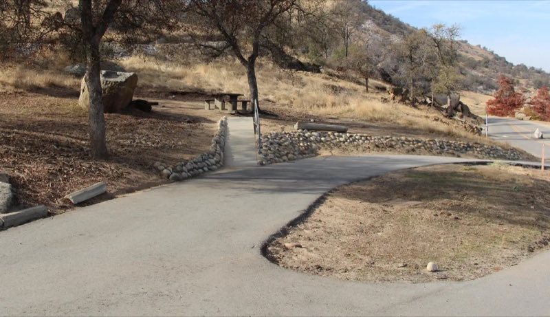
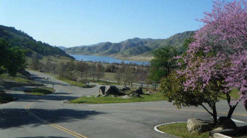
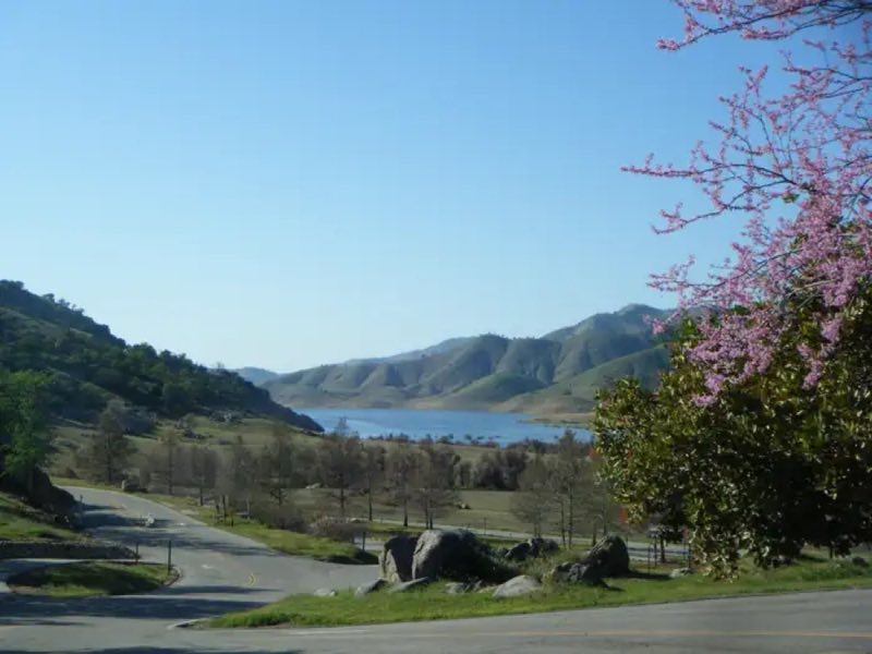
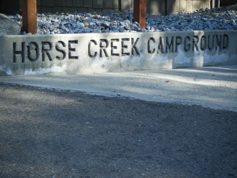
Photos: James Roller- Campground Host, Robin Lebo- USACE Park Ranger, Lake Kaweah, Robin Lebo- USACE Park Ranger, USACE · courtesy of Recreation.gov. Click a photo to enlarge.
Horse Creek
Overview
Horse Creek Campground is located on the Kaweah River in the foothills of central California's Sierra Nevada Mountains. The Terminus Dam on Kaweah Lake is three miles east of Lemon Cove, CA. Recreation Kaweah Lake offers boating, water skiing and sailing. Horse and walking trails are available during low water.
- Operator
- Army Corps of Engineers
- Camping types
- RV
- Fee
- From $5 per night (confirm with the operator)
- Reservations
- Reservable online
- Phone
- 559-597-2301
Amenities
Location
Nearby adventures
Hikes and trailheads
- Paradise Creek
Explore Paradise Canyon in the Foothills of Sequoia National Park. National Park Service
Show on map - Moro Rock
A stone and concrete stairway leads to the top of Moro Rock, a granite dome that towers over the Generals Highway. National Park Service
Show on map - Ladybug Trail
A loop trail.
Show on map - Hike to a Bird's Eye View
Take a short hike to little-known viewpoint, called Eagle View. National Park Service
Show on map - View Sunset from Sunset Rock
Are you looking for the perfect spot for sunset? National Park Service
Show on map - Crescent Meadow
The Crescent Meadow Trail is an ideal place for photography and a relaxing walk. National Park Service
Show on map
Scenic sights
- Tharps PeakShow on map
- Lemon HillShow on map
- Marble FallsShow on map
- Panther Creek Falls
A 154-foot waterfall along Middle Fork Kaweah Trail.
Show on map - Kern Hot SpringShow on map
Climbing and snow sports
- Snowshoe with a Ranger
Our popular ranger-guided snowshoe walks are a great way to explore snowy trails. National Park Service
Show on map
Trail and sight data: National Park Service and OpenStreetMap contributors (ODbL).
Reviews
Data sources
Listing details come from the sources above and may be out of date. Confirm fees, dates and closures with the operator before you travel.