Photos: NPS Photo/E. Goode · courtesy of National Park Service. Click a photo to enlarge.
Hoh Campground
Overview
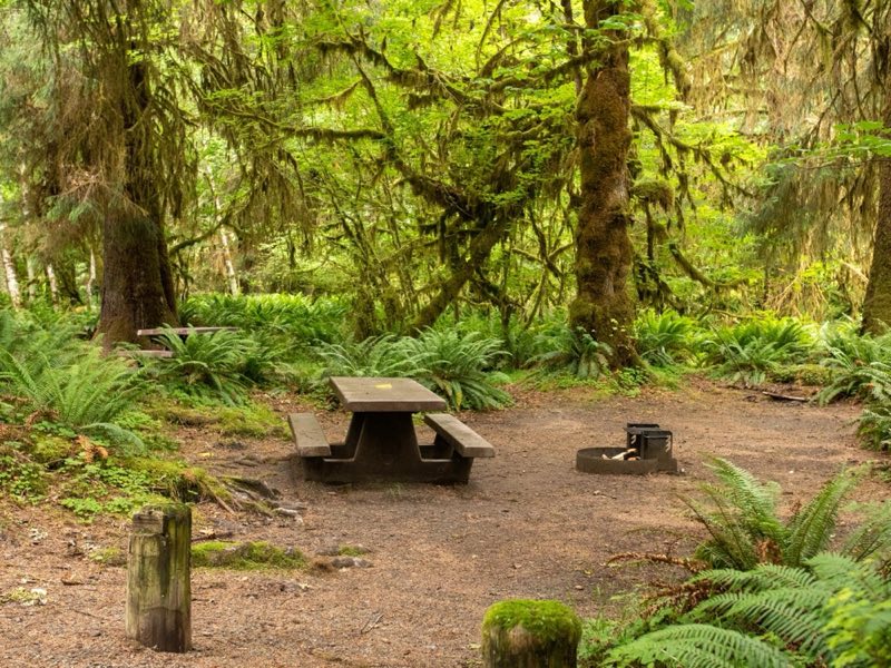
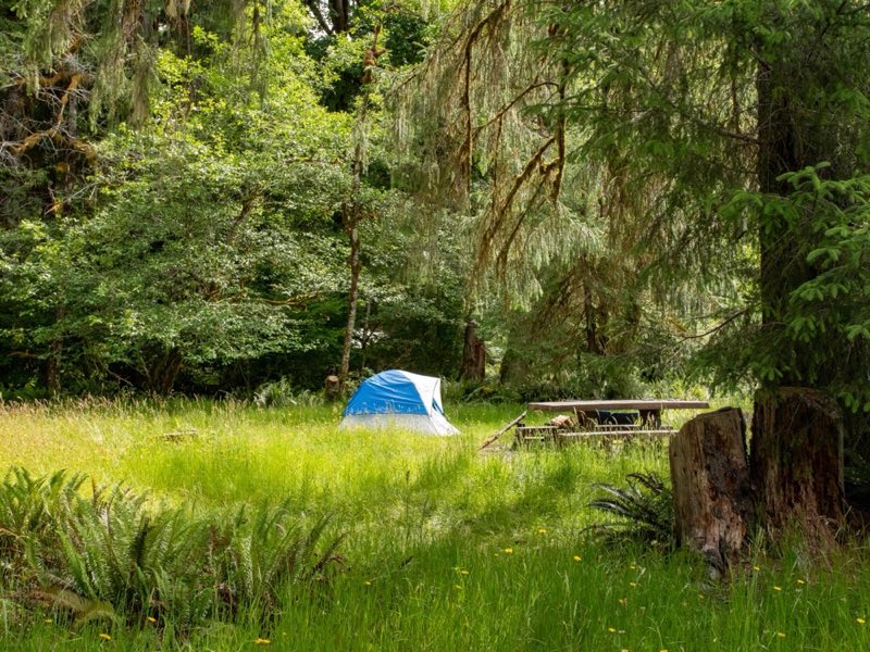
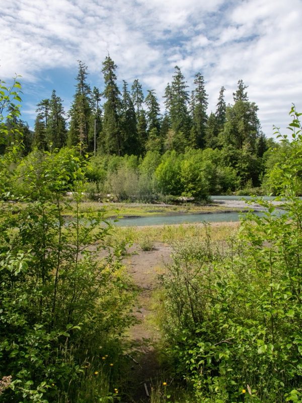
Surround yourself with moss and ancient trees in this temperate rain forest. Hoh campground offers summer ranger programs and some riverside campsites along the Hoh River. Reservations in summer, first come first served the rest of the year.
- Operator
- National Park
- Camping types
- Tent
- Sites
- 78 campsites
- Fee
- From $24 per night (confirm with the operator)
- Reservations
- Reservable online
- Phone
- 360-565-3130
Amenities
Location
Nearby adventures
Hikes and trailheads
- Hall of Mosess Trail
A loop trail starting near Hoh River Trailhead, maintained by Olympic National Park.
Show on map - Hoh River Trailhead
Access point for Hall of Mosess Trail.
Show on map - Hoh Visitor Center Mini-Trail Trailhead
Access point for Hall of Mosess Trail.
Show on map - Big Spruce Tree Nature TrailheadShow on map
- Pacific Northwest Trail 03 Washington
The Pacific Northwest Trail is a 1,200-mile hiking trail running from the Continental Divide in Montana to the Pacific Ocean on Washington's Olympic Coast. Wikipedia
Show on map - Aurora Ridge Trail
A steep moderate to difficult climb which follows a forested ridge past Sourdough Peak and Aurora Peak. OpenStreetMap
Show on map
Mountain biking
- Olympic Discovery Trail Adventure RouteShow on map
Scenic sights
- Mineral Creek FallsShow on map
- Bogachiel Peak
Bogachiel Peak is a 5,478-foot peak in the Olympic Mountains of Washington, U.S.. Wikipedia
Show on map - Sol Duc Falls
A 46-foot waterfall along Sol Duc Falls Nature Trail.
Show on map - Sol Duc Hot SpringsShow on map
- Sol Duc Falls
A viewpoint along Sol Duc Falls Nature Trail.
Show on map
Climbing and snow sports
- Olympic National Park
Parent area for climbing crags/peaks in Olympic National Park. OpenStreetMap
Show on map - Hurricane Ridge Ski AreaShow on map
Trail and sight data: OpenStreetMap contributors (ODbL). Text marked Wikipedia is from Wikipedia under CC BY-SA 4.0, lightly shortened.
Reviews
Data sources
Listing details come from the sources above and may be out of date. Confirm fees, dates and closures with the operator before you travel.