Photos: NPS Photo / J. Tobiason, NPS Photo / A. Mattson, NPS Photo / C. Crawford, NPS Photo / E. Helton · courtesy of National Park Service. Click a photo to enlarge.
Gros Ventre Campground
Overview
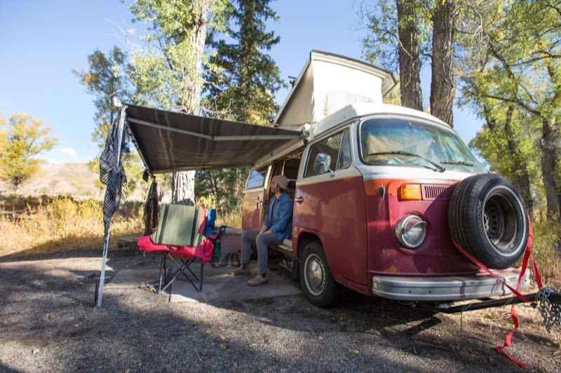
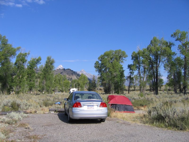
The park's largest campground is in the southeast part of the park, closest to the town of Jackson. Sagebrush and grasses cover the campground as cottonwoods and blue spruce rise above. The Gros Ventre River is a short stroll away. Some sites offer views of the Grand Teton and Blacktail Butte.
- Operator
- National Park
- Camping types
- Tent, RV
- Sites
- 279 campsites
- Reservations
- Reservable online
- Phone
- 307-543-3100
Amenities
Location
Nearby adventures
Hikes and trailheads
- Death Canyon - Static Peak Divide Junction
Travel into the Teton Range on this strenuous day or overnight hike to Death Canyon. National Park Service
Show on map - Garnet Canyon Trail
Travel to the heart of the Teton Range on a strenuous hike into Garnet Canyon. National Park Service
Show on map - Blacktail Butte TrailheadShow on map
- Dornans Pathway Access TrailheadShow on map
- Forks of Cascade Canyon
Travel deep into the Teton Range on this hike through Cascade Canyon. National Park Service
Show on map - Aspen Ridge TrailShow on map
Mountain biking
- Great Divide Mountain Bike Route
A long distance touring route from Banff, Alberta to Antelope Wells, New Mexico. OpenStreetMap
Show on map - Darby Canyon
A loop mountain-bike route.
Show on map - Southeast Connector DirtShow on map
- Stateline Rd DirtShow on map
Scenic sights
- Blacktail Butte
Blacktail Butte (7,688 feet) is a butte mountain landform rising from Jackson Hole valley in Grand Teton National Park in the U.S. state of Wyoming. Wikipedia
Show on map - Kelly Warm SpringsShow on map
- Blacktail Ponds OverlookShow on map
- Mormon Row ViewpointShow on map
- Shadow MountainShow on map
Climbing and snow sports
- Moose-Wilson Road in Winter
The Moose-Wilson Road is a corridor road connecting the towns of Moose and Wilson. National Park Service
Show on map
Trail and sight data: National Park Service and OpenStreetMap contributors (ODbL). Text marked Wikipedia is from Wikipedia under CC BY-SA 4.0, lightly shortened.
Reviews
Data sources
Listing details come from the sources above and may be out of date. Confirm fees, dates and closures with the operator before you travel.