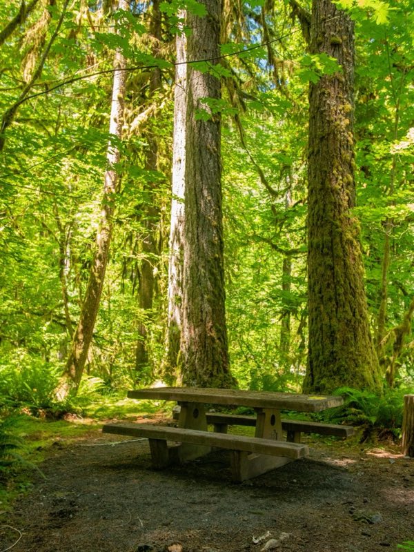
Photos: NPS Photo/E. Goode · courtesy of National Park Service. Click a photo to enlarge.
Graves Creek Campground
Overview
Located in the Quinault Rain Forest, relax near a serene stream at Graves Creek Campground.
- Operator
- National Park
- Camping types
- Tent
- Sites
- 30 campsites
- Fee
- From $20 per night (confirm with the operator)
- Reservations
- No online reservations listed
- Phone
- 360-565-3130
Amenities
Location
Nearby adventures
Hikes and trailheads
- Graves Creek Primitive Trail
This primitive and poorly maintained tral connects the Quinault River trail with the South Fork Skokomish and Six Ridge Trails. OpenStreetMap
Show on map - East Fork Quinault River Trail
a long trail leading up the valley of the Quinault River to Enchanted Valley and the alpine slopes of Anderson Pass. OpenStreetMap
Show on map - Sundown Lake Trail
This trail connects Lake Sundown to the Wynoochee Pass, South Fork Skokomish River, and Graves Creek Trails. OpenStreetMap
Show on map - Six Ridge Primitive Trail
Primitive poorly maintained way trail that connects the North Fork Skokomish Trail to the Wynoochee Pass area. OpenStreetMap
Show on map - South Fork Skokomish River Trail
This trail leads from the park boundary up and over Sundown Pass to connect with the Sundown Lake Trail. OpenStreetMap
Show on map - Wynoochee Pass Trail #874
This short trail starts at the Wynoochee Pass Trailhead and travels through heavy forest to the national park boundary. OpenStreetMap
Show on map
Scenic sights
- Mount HoquiamShow on map
- Discovery PeakShow on map
- Wynoochee FallsShow on map
- Maidenhair Falls
A waterfall along Wynoochee Lake Shore Trail.
Show on map - Olympic Hot Springs
Olympic Hot Springs is located in Olympic National Park, Washington, United States. Wikipedia
Show on map
Climbing and snow sports
- Olympic National Park
Parent area for climbing crags/peaks in Olympic National Park. OpenStreetMap
Show on map - Hurricane Ridge Ski AreaShow on map
Trail and sight data: OpenStreetMap contributors (ODbL) and Recreation.gov. Text marked Wikipedia is from Wikipedia under CC BY-SA 4.0, lightly shortened.
Reviews
Data sources
Listing details come from the sources above and may be out of date. Confirm fees, dates and closures with the operator before you travel.