Photos: NPS/Peaco, NPS, NPS/Greenburg · courtesy of National Park Service. Click a photo to enlarge.
Grant Village Campground
Overview
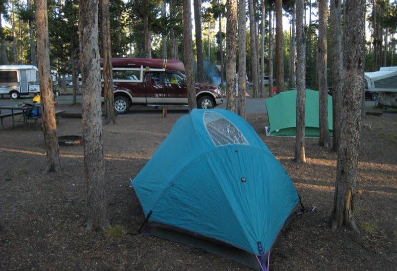
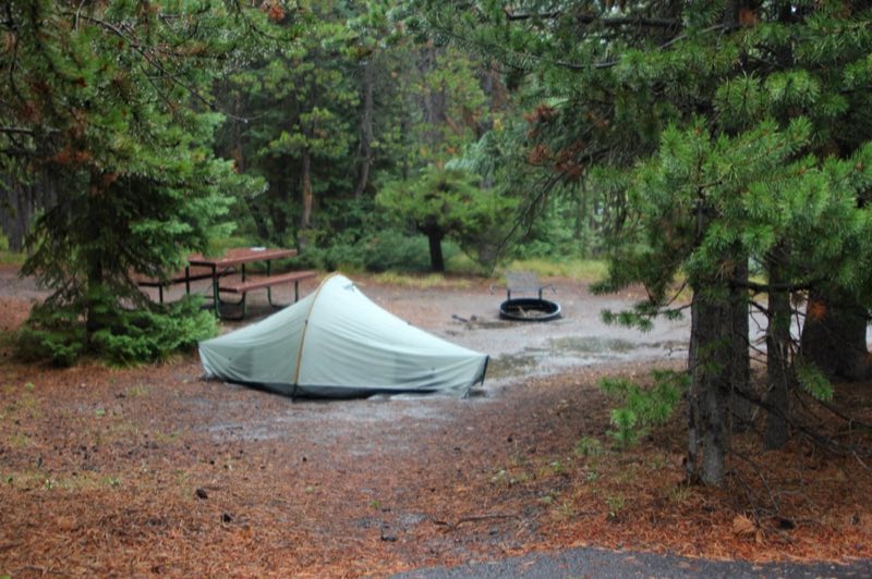
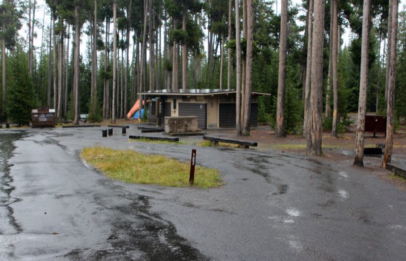
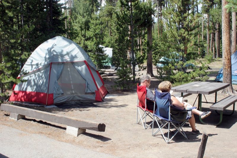
Grant Campground—elevation 7,800 feet (2377 m)—is located in Grant Village, just off the Grand Loop Road at the south end of Yellowstone Lake. It is one of the larger campgrounds in the park. Group and wheel-chair accessible sites are available.
- Operator
- National Park
- Camping types
- Tent
- Sites
- 430 campsites
- Fee
- From $10 per night (confirm with the operator)
- Reservations
- Reservable online
- Phone
- 307-344-7311
Amenities
Location
Nearby adventures
Hikes and trailheads
- West Thumb Geyser Basin TrailheadShow on map
- Duck Lake TrailheadShow on map
- Riddle Lake TrailheadShow on map
- CDT - Wyoming SectionShow on map
- Elephant Back Mountain Trail
This trail climbs 800 feet (244 m) in 1-½ miles (2.4 km) through the dense lodgepole forest. OpenStreetMap
Show on map - Pelican Creek Nature Trail
This short but diverse trail travels through the forest to the lakeshore before looping back to the trailhead. OpenStreetMap
Show on map
Mountain biking
- Great Divide Mountain Bike Route
A long distance touring route from Banff, Alberta to Antelope Wells, New Mexico. OpenStreetMap
Show on map
Scenic sights
- Black Pool
Black Pool is a hot spring in the West Thumb Geyser Basin of Yellowstone National Park in the United States. Wikipedia
Show on map - Abyss Pool
Abyss Pool is a hot spring in the West Thumb Geyser Basin of Yellowstone National Park in the United States. Wikipedia
Show on map - Pumice PointShow on map
- Factory HillShow on map
- Flat MountainShow on map
Climbing and snow sports
- Sleeping Giant Winter Sports AreaShow on map
Trail and sight data: OpenStreetMap contributors (ODbL). Text marked Wikipedia is from Wikipedia under CC BY-SA 4.0, lightly shortened.
Reviews
Data sources
Listing details come from the sources above and may be out of date. Confirm fees, dates and closures with the operator before you travel.