Photos: NPS Photo/Rosemary Seifried, NPS Photo, NPS / Dixon, NPS / Astudillo · courtesy of National Park Service. Click a photo to enlarge.
Goodell Creek Campground
Overview
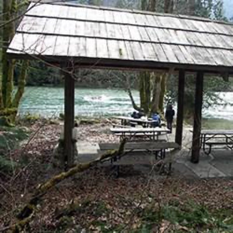
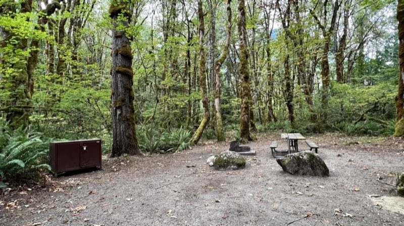
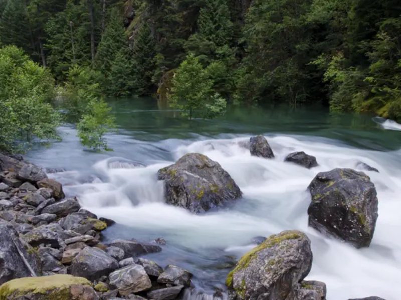
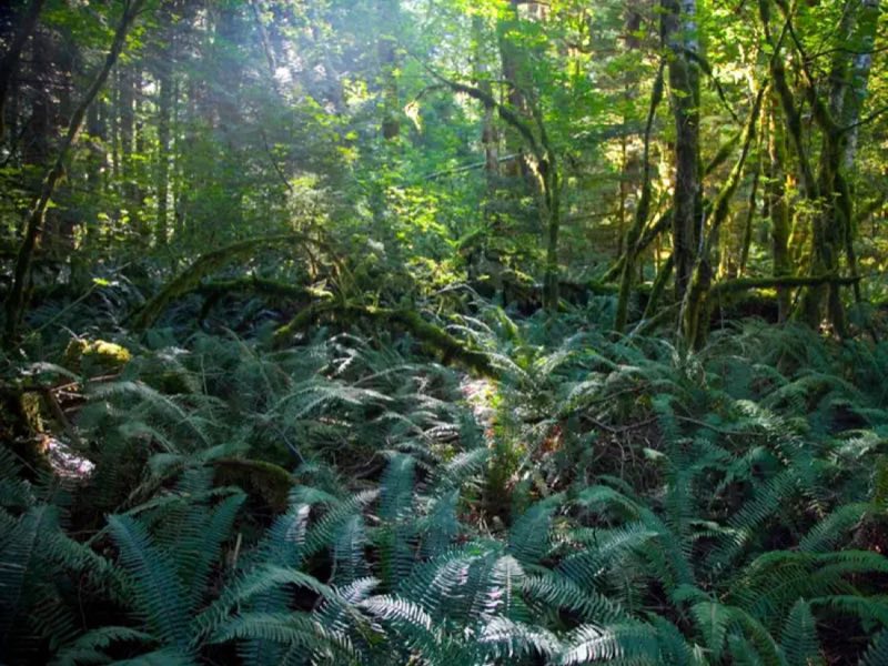
Goodell Creek Campground is situated in lush, old growth forest on the banks of the Skagit River. Campsites are suitable for tents and small RVs. First-come, first-served during the winter; summer reservations can be made up to 6 months in advance or 7 days in advance.
- Operator
- National Park
- Camping types
- Tent
- Sites
- 19 campsites
- Fee
- From $20 per night (confirm with the operator)
- Reservations
- Reservable online
- Phone
- 360-854-7301
Amenities
Location
Nearby adventures
Hikes and trailheads
- Newhalem Creek Trail
A trail maintained by North Cascades National Park.
Show on map - Thornton Lakes Trail
A trail maintained by North Cascades National Park.
Show on map - Pyramid Lake Trail
A trail maintained by North Cascades National Park.
Show on map - Stetattle Creek Trail
A trail maintained by North Cascades National Park.
Show on map - Sourdough Mountain Trail
A trail starting near Sourdough Trailhead, maintained by North Cascades National Park.
Show on map - Sourdough Trailhead
Access point for Sourdough Mountain Trail.
Show on map
Scenic sights
- Newhalem Creek Falls
A 167-foot waterfall.
Show on map - Ladder Creek Falls
A 108-foot waterfall.
Show on map - Mount Ross
Mount Ross is a 6,052-foot mountain summit located in the North Cascades, in Whatcom County, Washington, United States. Wikipedia
Show on map - Trappers Peak
Trappers Peak is a 5,966-foot elevation mountain summit located in the North Cascades of Washington state. Wikipedia
Show on map - Diablo Lake OverlookShow on map
Climbing and snow sports
- Forbidden PeakShow on map
- Boston BasinShow on map
- Mount GoodeShow on map
Trail and sight data: OpenStreetMap contributors (ODbL). Text marked Wikipedia is from Wikipedia under CC BY-SA 4.0, lightly shortened.
Reviews
Data sources
Listing details come from the sources above and may be out of date. Confirm fees, dates and closures with the operator before you travel.