Photos: NPS photo · courtesy of National Park Service. Click a photo to enlarge.
Glade Creek Campground
Overview
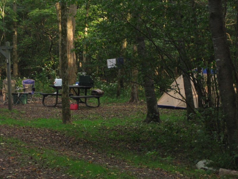
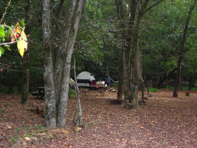
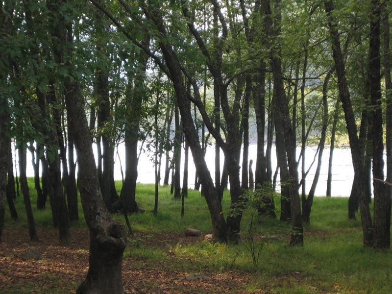
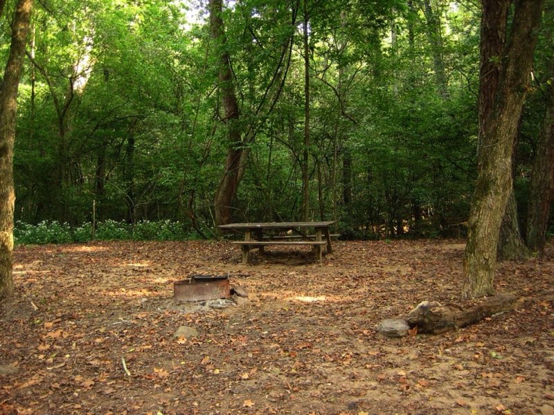
This forested campground offers both tent and RV sites near the banks of the New River and the Glade Creek Trailhead. There are 6 walk-in tents sites and 5 drive-in sites for tents, RVs, or campers. There is 1 accessible site. Only small (less than 25 feet) and medium (22 - 31.5 feet) RVs or campers are recommended.
- Operator
- National Park
- Camping types
- Tent, Free camping
- Sites
- 11 campsites
- Fee
- Free
- Reservations
- No online reservations listed
- Phone
- 304-465-0508
Amenities
Location
Nearby adventures
Hikes and trailheads
- Trail Run or hike the Little Laurel Trail
The terrain is crushed rock for most of the trail, but there are a few areas that the terrain can be a bit uneven. National Park Service
Show on map - Castle Rock Trail
Amazing hike that brings you right next to the layers of rocks that make-up the gorge. National Park Service
Show on map - Trail Run Grandview Rim Trail
This is an out and back route that is on different compositions. National Park Service
Show on map - Glade Creek TrailShow on map
- Polls Plateau TrailShow on map
- Tunnel Trail
A trail starting near Main Overlook Trailhead.
Show on map
Mountain biking
- Bicycling at New River Gorge
New River Gorge National River offers over fifty miles of mountain bike trails, varying from easy to difficult in terrain and distance. National Park Service
Show on map
Rivers and rafting
- Whitewater Boating
Whitewater rafting and kayaking is one of the more popular activities at New River Gorge. National Park Service
Show on map
Scenic sights
- Plumley KnobShow on map
- Backus MountainShow on map
- Main Overlook
A viewpoint along Tunnel Trail.
Show on map - North Overlook
A viewpoint along Grandview Rim Trail.
Show on map - Sandstone Falls
A waterfall along Island Loop Trail.
Show on map
Climbing and snow sports
- Climbing at New River Gorge
With over 1,400 established climbing routes, New River Gorge National Park and Preserve has become one of the most popular climbing locations in the country. National Park Service
Show on map - Honeymooner AreaShow on map
- Party Buttress AreaShow on map
Trail and sight data: National Park Service and OpenStreetMap contributors (ODbL).
Reviews
Data sources
Listing details come from the sources above and may be out of date. Confirm fees, dates and closures with the operator before you travel.