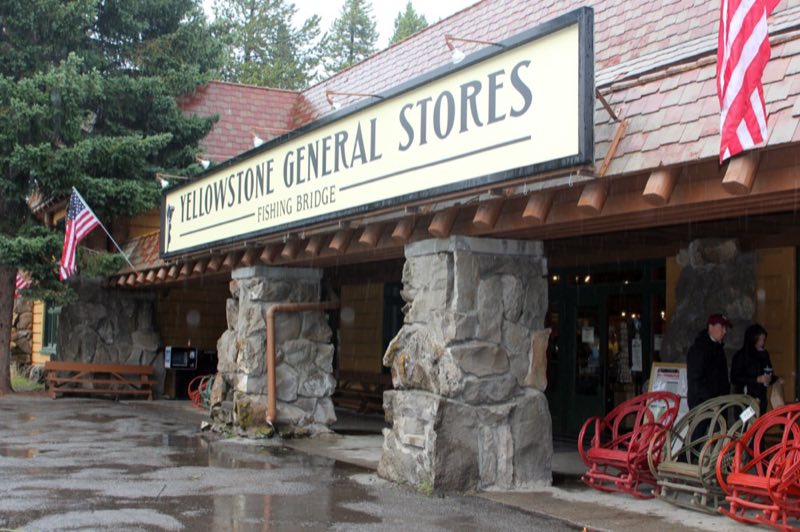
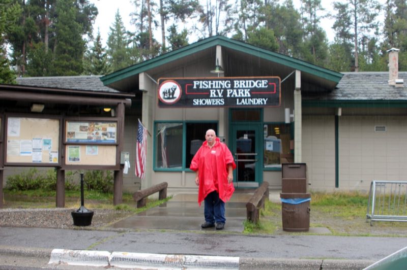
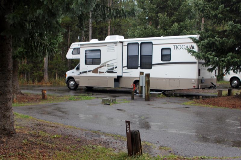
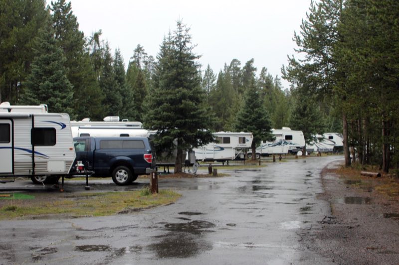
Photos: NPS/Renkin · courtesy of National Park Service. Click a photo to enlarge.
Fishing Bridge RV Park
Overview
Fishing Bridge RV Park—elevation 7,800 feet (2377 m)—is located near the Yellowstone River where it exits Yellowstone Lake on its way toward the Grand Canyon of the Yellowstone. Only campground in Yellowstone to offer water, sewer, and electrical hookups.
- Operator
- National Park
- Camping types
- RV
- Sites
- 310 campsites
- Fee
- From $89 per night (confirm with the operator)
- Reservations
- Reservable online
- Phone
- 307-344-7311
Amenities
Location
Nearby adventures
Hikes and trailheads
- Pelican Creek Nature Trail
This short but diverse trail travels through the forest to the lakeshore before looping back to the trailhead. OpenStreetMap
Show on map - Storm Point Trail
This trail begins in the open meadows overlooking Indian Pond and Yellowstone Lake. OpenStreetMap
Show on map - Elephant Back Mountain Trail
This trail climbs 800 feet (244 m) in 1-½ miles (2.4 km) through the dense lodgepole forest. OpenStreetMap
Show on map - Fishing Bridge TrailheadShow on map
- Pelican Creek Trailhead
Access point for Pelican Creek Nature Trail.
Show on map - Natural Bridge TrailheadShow on map
Scenic sights
- Sulphur HillsShow on map
- Lehardy rapidsShow on map
- Stonetop MountainShow on map
- Churning CaldronShow on map
- Sour LakeShow on map
Climbing and snow sports
- Sleeping Giant Winter Sports AreaShow on map
Trail and sight data: OpenStreetMap contributors (ODbL).
Reviews
Data sources
Listing details come from the sources above and may be out of date. Confirm fees, dates and closures with the operator before you travel.