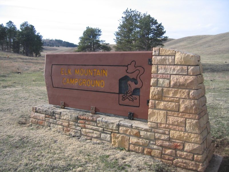
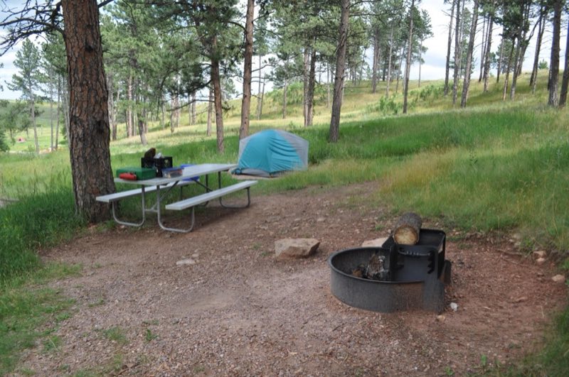
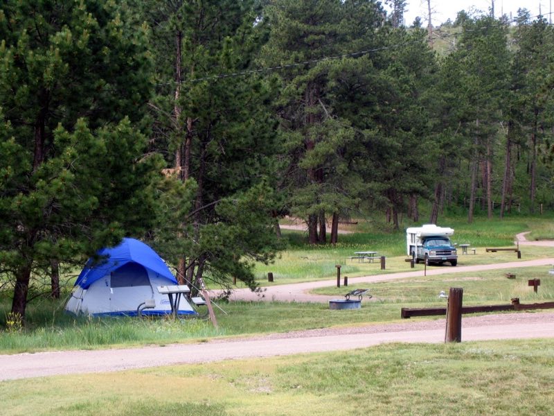
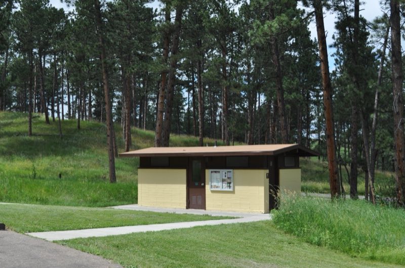
Photos: NPS Photo, NPS Photo / Megan Porter, NPS/Megan Porter · courtesy of National Park Service. Click a photo to enlarge.
Elk Mountain Campground
Overview
This 64-site campground is open year round. Sites can be reserved at www.recreation.gov. Two sites are handicap-accessible. Flush toilets and drinking water are available late May through September. Fees are half-price when water is not available. Payment is by credit or debit card only.
- Operator
- National Park
- Camping types
- Tent, RV
- Sites
- 64 campsites
- Fee
- From $12 per night (confirm with the operator)
- Reservations
- Reservable online
- Phone
- 605-745-4600
Amenities
Location
Nearby adventures
Hikes and trailheads
- Visit Wind Cave's Natural Entrance
You can still see the largest natural opening into Wind Cave without going on a tour. National Park Service
Show on map - Centennial Trail
A long-distance route starting near South Boxelder Trailhead.
Show on map - Rankin Ridge TrailShow on map
- George S. Mickelson TrailShow on map
- Grace Coolidge Walk-in Fishing AreaShow on map
- Sylvan Lake Trail
A loop trail.
Show on map
Scenic sights
- Wind Cave (natural entrance)Show on map
- Cicero Peak
Cicero Peak is a 6,168-foot mountain in the Black Hills of Custer County, South Dakota. Wikipedia
Show on map - HeavenShow on map
- Mount CoolidgeShow on map
Climbing and snow sports
- Aquarium RockShow on map
- Dam Back SideShow on map
- Ephel DuathShow on map
Trail and sight data: National Park Service and OpenStreetMap contributors (ODbL). Text marked Wikipedia is from Wikipedia under CC BY-SA 4.0, lightly shortened.
Reviews
Data sources
Listing details come from the sources above and may be out of date. Confirm fees, dates and closures with the operator before you travel.