Photos: NPS Photo · courtesy of National Park Service. Click a photo to enlarge.
Cougar Rock Campground
Overview
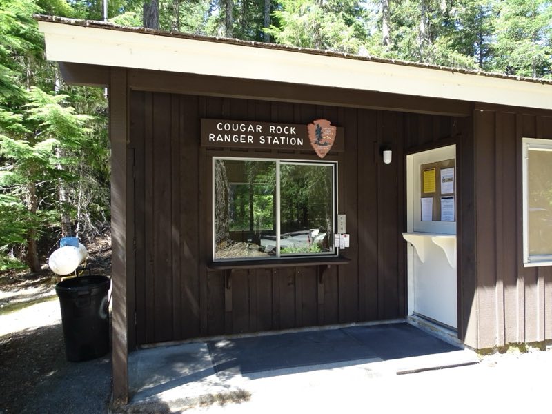
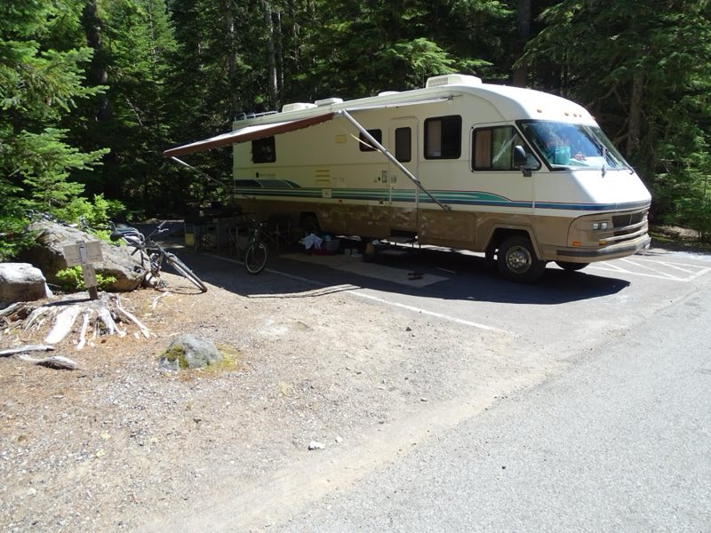
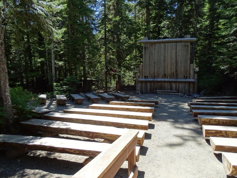
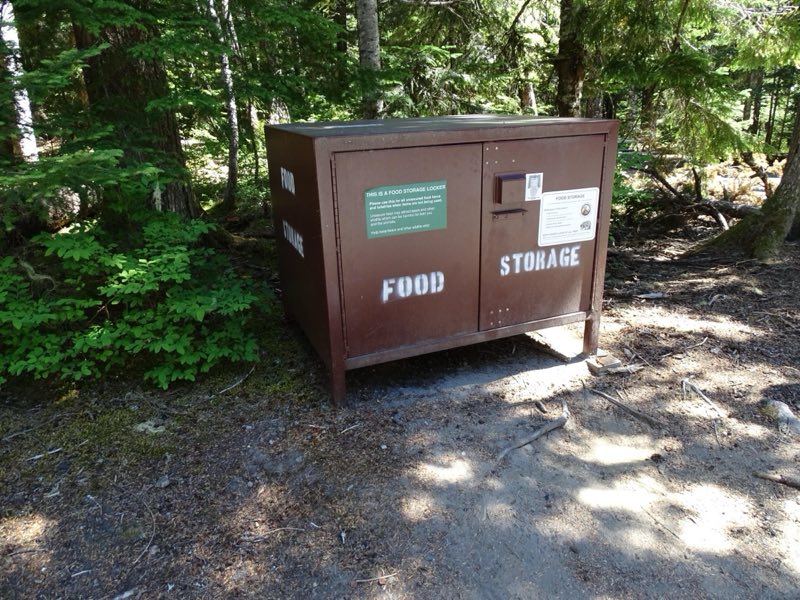
Cougar Rock Campground is located on the south side of the park, on the road between Longmire and Paradise. It is in a steep valley with the Nisqually River across the main road. Thick forest extends through the whole campground providing privacy for campsites.
- Operator
- National Park
- Camping types
- Tent, RV
- Sites
- 179 campsites
- Fee
- From $20 per night (confirm with the operator)
- Reservations
- Reservable online
- Phone
- 360-569-6626
Amenities
Location
Nearby adventures
Hikes and trailheads
- Longmire Historic District Walking Tour
At Mount Rainier, designers selected massive logs and glacial boulders as the building materials best suited for integrating new structures with their natural settings. National Park Service
Show on map - A Day In Longmire
Plan a day in Longmire, whether you are looking for mountain views, historic architecture, or hiking trails for all abilities. National Park Service
Show on map - Rampart Ridge Trail
This loop trail explores the forest around Longmire, with glimpses of Mount Rainier and the Nisqually River Valley. National Park Service
Show on map - Spring Recreation
Spring comes slowly to the mountain. National Park Service
Show on map - A Day In Paradise
The Paradise area of Mount Rainier National Park has it all—history, hiking, wildflowers, and wildlife viewing opportunities, and more! National Park Service
Show on map - Nisqually Vista Trail
The easy Nisqually Vista trail offers stunning year-round views of Mount Rainier, the Nisqually Glacier, and the Tatoosh mountain range as well as seasonal delights, such as summer… National Park Service
Show on map
Mountain biking
- Hike and Bike Westside Road in Mount Rainier
Hike or bike Westside Road through a dynamic landscape that is evidence of outburst floods that closed this portion of road to public vehicle traffic. National Park Service
Show on map
Scenic sights
- Cougar Rock
A peak near Rampart Ridge Trail.
Show on map - Eagle Peak
Eagle Peak is a 5,958-foot mountain summit in Lewis County of Washington state. Wikipedia
Show on map - Carter FallsShow on map
- Christine Falls
Christine Falls is a waterfall on Van Trump Creek in Pierce County, Washington. Wikipedia
Show on map - Ricksecker PointShow on map
Climbing and snow sports
- Explore Longmire in Winter
Make a day of it by visiting in Longmire in winter. National Park Service
Show on map - Mount RainierShow on map
Trail and sight data: National Park Service and OpenStreetMap contributors (ODbL). Text marked Wikipedia is from Wikipedia under CC BY-SA 4.0, lightly shortened.
Reviews
Data sources
Listing details come from the sources above and may be out of date. Confirm fees, dates and closures with the operator before you travel.