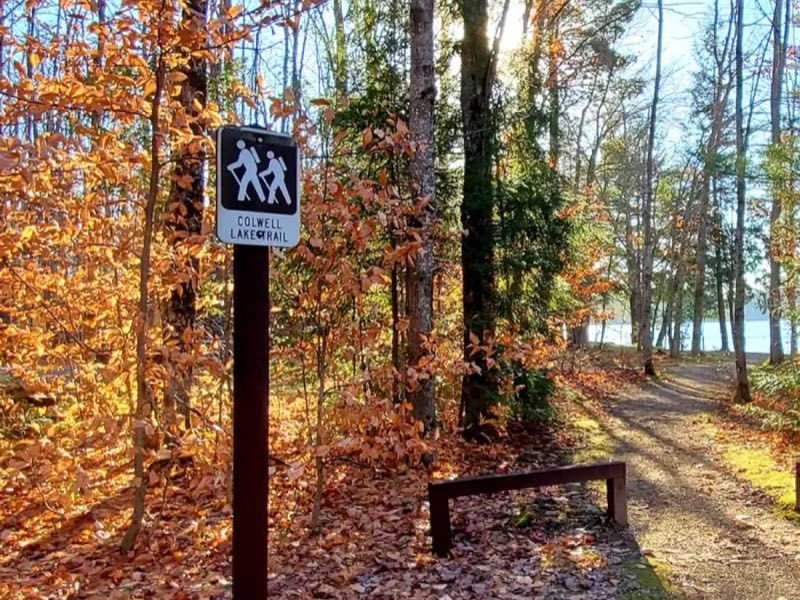
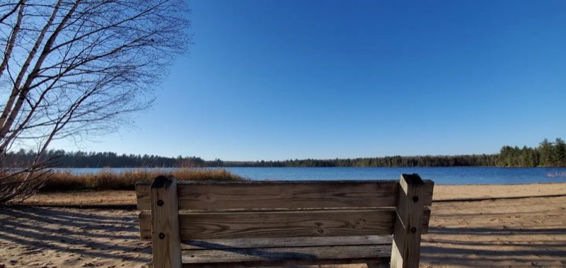
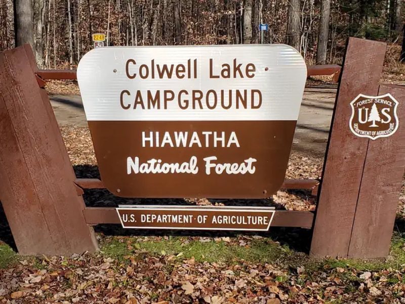
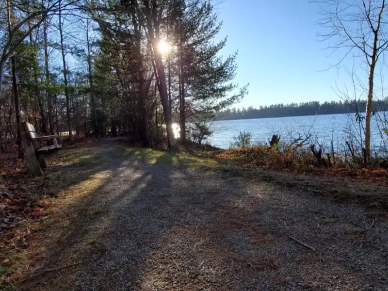
Photos: USFS - Hiawatha National Forest · courtesy of Recreation.gov. Click a photo to enlarge.
Colwell Lake Campground
Overview
Colwell Lake Campground is situated on Colwell Lake in the center of Michigan's Hiawatha National Forest. Guests of all ages can enjoy nature and the outdoors in this picturesque setting.
- Operator
- National Forest
- Camping types
- RV, Tent
- Fee
- From $4 per night (confirm with the operator)
- Reservations
- Reservable online
Amenities
Location
Nearby adventures
Hikes and trailheads
- Ewing Point CampsiteShow on map
- Big Island Lake Wilderness Main EntryShow on map
- Bay de Noc – Grand Island National Recreation Trail
A long-distance route starting near Bay de Noc Trailhead, maintained by United States Forest Service.
Show on map
Mountain biking
- Valley Spur Loop 1Show on map
- Munising Mountain Bike Park
A loop mountain-bike route.
Show on map
Rivers and rafting
- Swimming at Pictured Rocks
Pictured Rocks has several beautiful beach areas for swimming and wading in Lake Superior. National Park Service
Show on map
Scenic sights
- Alger Falls
Alger Falls is a waterfall located along highway M-28 in Alger County, Michigan near Munising at the junction with M-94. Wikipedia
Show on map - Wagner FallsShow on map
- Main EntranceShow on map
Climbing and snow sports
- Snowshoeing at Pictured Rocks
Snowshoeing is a very popular winter sport at Pictured Rocks. National Park Service
Show on map
Trail and sight data: Recreation.gov and OpenStreetMap contributors (ODbL) and National Park Service. Text marked Wikipedia is from Wikipedia under CC BY-SA 4.0, lightly shortened.
Reviews
Data sources
Listing details come from the sources above and may be out of date. Confirm fees, dates and closures with the operator before you travel.