Photos: NPS Photo, NPS Photo/Wallace Keck · courtesy of National Park Service. Click a photo to enlarge.
City of Rocks Campground
Overview
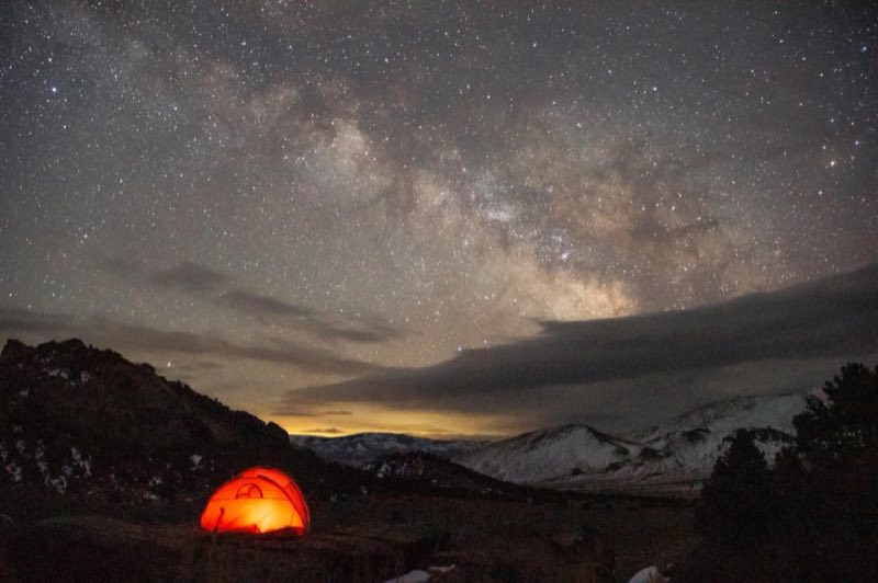
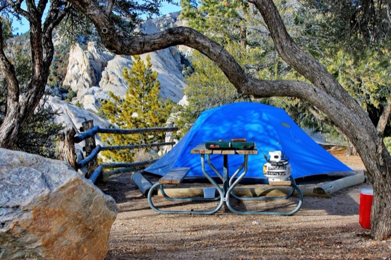
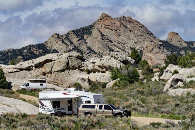
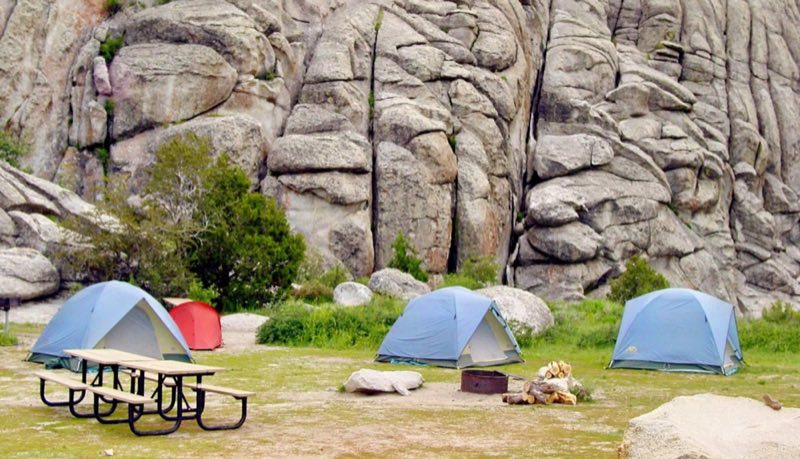
Camping in City of Rocks is a great way to enjoy being out in nature. Relax beneath the cool shade of aspen, juniper, mountain mahogany, or pine. Spend the night surrounded by impressive granite formations and starry skies.
- Operator
- National Park
- Camping types
- Tent
- Sites
- 67 campsites
- Fee
- From $14 per night (confirm with the operator)
- Reservations
- Reservable online
- Phone
- 208-824-5901
Amenities
Location
Nearby adventures
Hikes and trailheads
- Creekside Towers Trail
Creekside Towers is an out-and-back 1.2-mile trail. National Park Service
Show on map - Geological Interpretive Trail
City of Rocks is well known for its geologic wonders. National Park Service
Show on map - City of Rocks Loop
This remote loop hike is a ranger favorite. National Park Service
Show on map - Wayside Exhibits Loop at the Visitor Center
This short 0.23 mile loop trail behind the Visitor Center will introduce you to some of the resources that make City of Rocks special. National Park Service
Show on map
Mountain biking
- Bike the Tea Kettle Trail
Tea Kettle Trail is a great mountain biking trail that runs between Bread Loaves and Elephant Rock. National Park Service
Show on map
Scenic sights
- Smoky Mountain
Smoky Mountain, at 7,579 feet above sea level is a peak in the Albion Mountains of Idaho. Wikipedia
Show on map - Graham Peak
Graham Peak is the fourth highest peak in the Albion Mountains of Idaho, at 8,867 feet above sea level. Wikipedia
Show on map
Climbing and snow sports
- Electric AvenueShow on map
- DungeonShow on map
- Crystal CowShow on map
Trail and sight data: National Park Service and OpenStreetMap contributors (ODbL). Text marked Wikipedia is from Wikipedia under CC BY-SA 4.0, lightly shortened.
Reviews
Data sources
Listing details come from the sources above and may be out of date. Confirm fees, dates and closures with the operator before you travel.