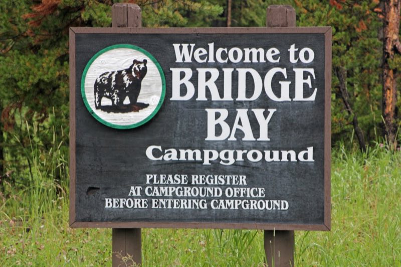
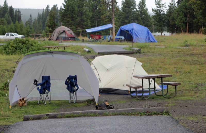
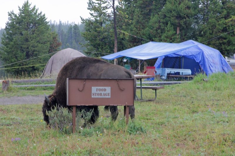
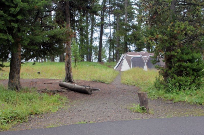
Photos: NPS/Renkin · courtesy of National Park Service. Click a photo to enlarge.
Bridge Bay Campground
Overview
Bridge Bay Campground—elevation 7,800 feet (2377 m)—is located near Yellowstone Lake, one of the largest, high-elevation, fresh-water lakes in North America. Campers at Bridge Bay will enjoy spectacular views of the lake and the Absaroka Range rising above the lake's eastern shore.
- Operator
- National Park
- Camping types
- Tent
- Sites
- 432 campsites
- Fee
- From $10 per night (confirm with the operator)
- Reservations
- Reservable online
- Phone
- 307-344-7311
Amenities
Location
Nearby adventures
Hikes and trailheads
- Elephant Back Mountain Trail
This trail climbs 800 feet (244 m) in 1-½ miles (2.4 km) through the dense lodgepole forest. OpenStreetMap
Show on map - Pelican Creek Nature Trail
This short but diverse trail travels through the forest to the lakeshore before looping back to the trailhead. OpenStreetMap
Show on map - Storm Point Trail
This trail begins in the open meadows overlooking Indian Pond and Yellowstone Lake. OpenStreetMap
Show on map - Natural Bridge TrailheadShow on map
- Fishing Bridge TrailheadShow on map
- Pelican Creek Trailhead
Access point for Pelican Creek Nature Trail.
Show on map
Scenic sights
- Sour LakeShow on map
- Churning CaldronShow on map
- Lehardy rapidsShow on map
- Sulphur HillsShow on map
- Pumice PointShow on map
Climbing and snow sports
- Sleeping Giant Winter Sports AreaShow on map
Trail and sight data: OpenStreetMap contributors (ODbL).
Reviews
Data sources
Listing details come from the sources above and may be out of date. Confirm fees, dates and closures with the operator before you travel.