Photos: NPS · courtesy of National Park Service. Click a photo to enlarge.
Blue Heron Campground
National ParkKentuckyTentRV
Overview
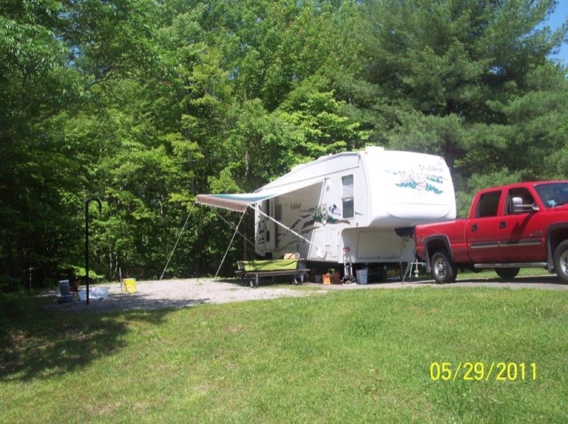
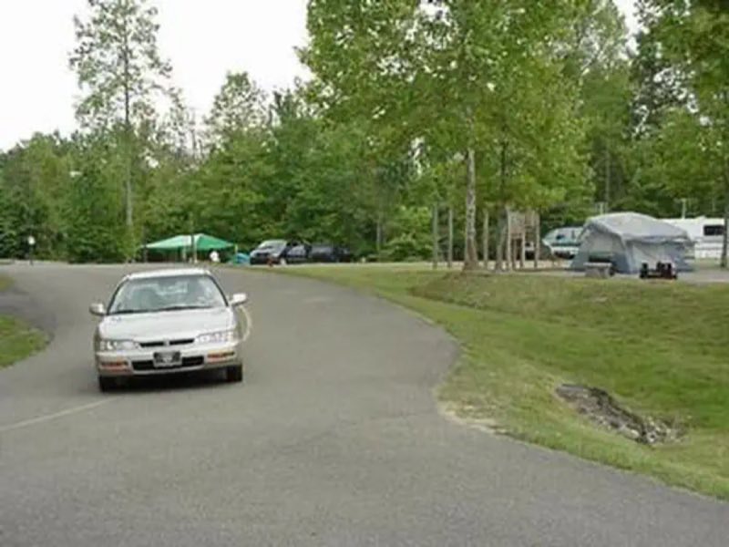
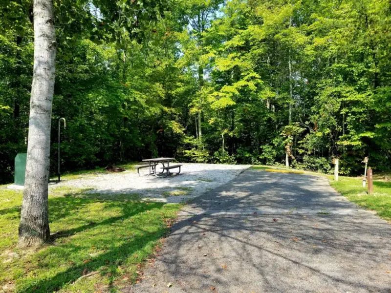
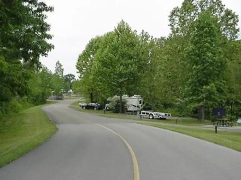
Blue Heron Campground is located in the Kentucky portion of Big South Fork, 9 miles west of Stearns off Highway 742. The campground offers a total of 45 sites all with water and electric hook-ups, picnic tables, fire-rings, access to restrooms and showers and a dump station.
- Operator
- National Park
- Camping types
- Tent, RV
- Sites
- 45 campsites
- Fee
- From $20 per night (confirm with the operator)
- Reservations
- Reservable online
- Phone
- 423-286-7275
Amenities
🚻Toilets
🚿Showers
💧Potable Water
♻️Dump Station
📶Wifi
🔌Electric Hookups
🥾Hiking
🎣Fishing
Location
Nearby adventures
Hikes and trailheads
- Sheltowee Trace NRT Section 35
A trail maintained by USFS.
Show on map - Sheltowee Trace NRT Section 36
A trail maintained by USFS.
Show on map - Sheltowee Trace NRT Section 34
A trail maintained by USFS.
Show on map - Sheltowee Trace NRT Section 33
A trail maintained by USFS.
Show on map - Sheltowee Trace NRT Section 32
A trail maintained by USFS.
Show on map - Sheltowee Trace NRT Section 30
A loop trail maintained by USFS.
Show on map
Scenic sights
- Devils Jump OverlookShow on map
- Blue Heron OverlookShow on map
- Big Spring FallsShow on map
- Lick Creek FallsShow on map
- Little Bill Slaven KnobShow on map
Trail and sight data: OpenStreetMap contributors (ODbL).
Reviews
Been here? Leave a review
Data sources
Listing details come from the sources above and may be out of date. Confirm fees, dates and closures with the operator before you travel.