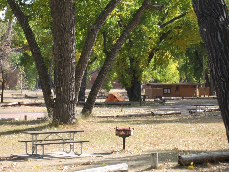
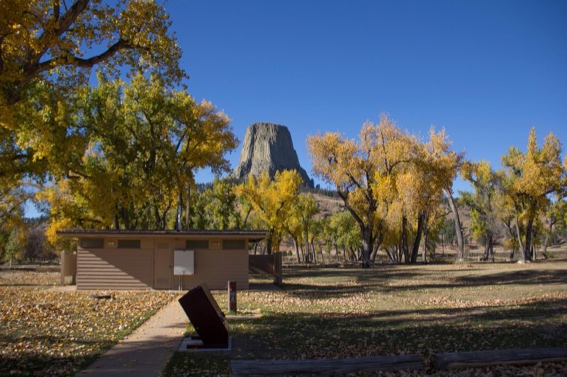
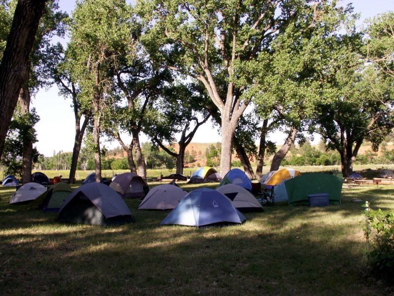
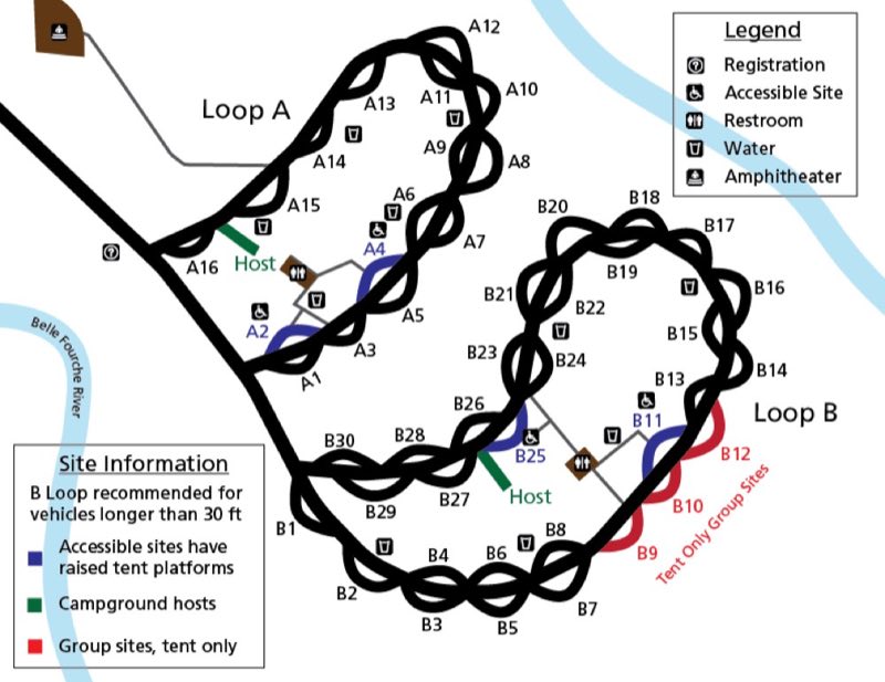
Photos: NPS, NPS Photo / Avery Locklear, NPS Photo, NPS Image / Joe Bruce · courtesy of National Park Service. Click a photo to enlarge.
Belle Fourche River Campground
Overview
The first come, first served campground (no reservations) Belle Fourche River Campground is a 2-loop, 45-site campground (43 pull-through sites with room for RVs up to 35') with 4 ADA sites and 3 tent-only group sites. Drinking water is available at water spigots and in the restrooms. No hookups are available.
- Operator
- National Park
- Camping types
- Tent
- Sites
- 45 campsites
- Fee
- From $20 per night (confirm with the operator)
- Reservations
- No online reservations listed
- Phone
- 307-467-5283
Amenities
Location
Nearby adventures
Hikes and trailheads
- Valley View TrailShow on map
- South Side TrailShow on map
- Red Beds Trail
A loop trail maintained by NPS.
Show on map - Tower Trail
A loop trail.
Show on map - Joyner Ridge Trail
A loop trail.
Show on map
Scenic sights
- Scenic view - Devil's Tower
Large long turnout suitable for RVs and cars, 1000' long by 40' wide. OpenStreetMap
Show on map - Missouri Buttes
Missouri Buttes or Little Missouri Buttes are located in Crook County in northeast Wyoming on the northwest flank of the Black Hills Uplift. Wikipedia
Show on map - Castle RocksShow on map
- Scenic view Devil's TowerShow on map
Climbing and snow sports
- Devils Tower
Devils Tower is a laccolithic butte, composed of igneous rock in the Bear Lodge Ranger District of the Black Hills, near Hulett and Sundance in Crook County, northeastern Wyoming, above the… Wikipedia
Show on map
Trail and sight data: OpenStreetMap contributors (ODbL). Text marked Wikipedia is from Wikipedia under CC BY-SA 4.0, lightly shortened.
Reviews
Data sources
Listing details come from the sources above and may be out of date. Confirm fees, dates and closures with the operator before you travel.