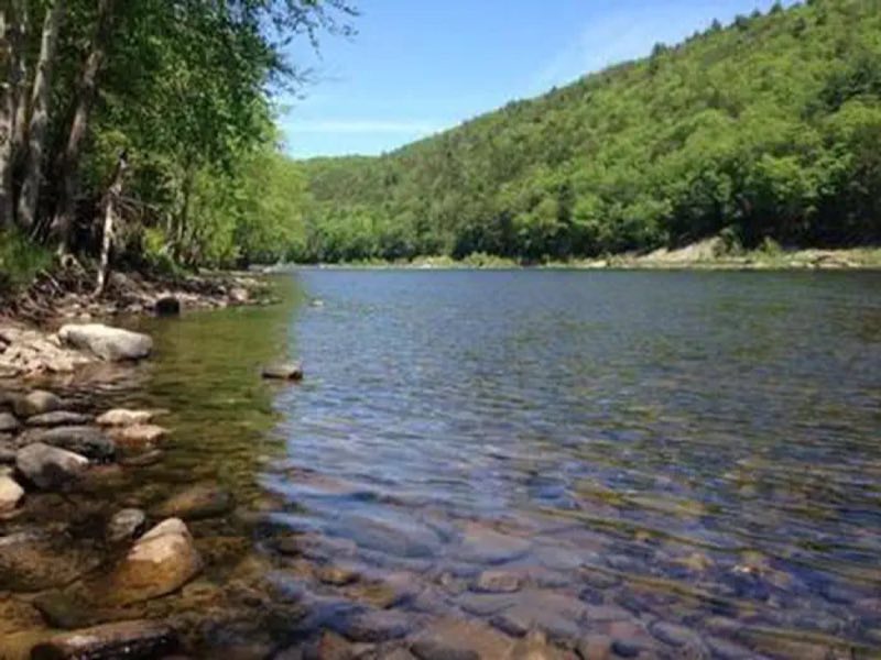
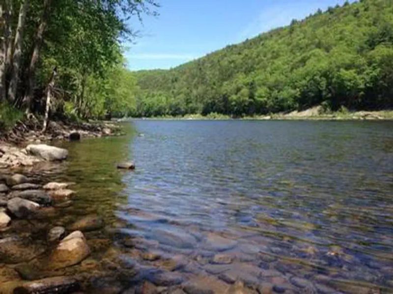
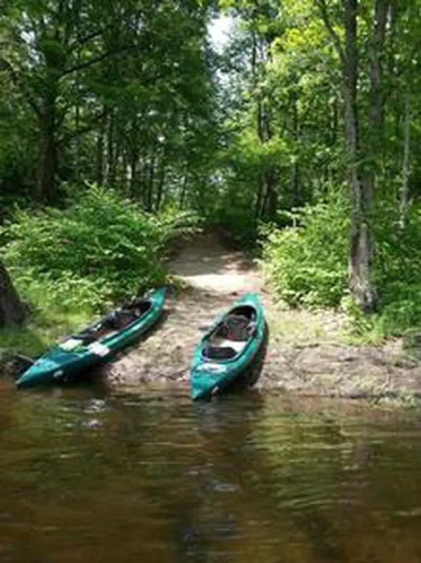
Photos: NPS Photo · courtesy of Recreation.gov. Click a photo to enlarge.
Alosa Campsites
Overview
The Alosa Campsites are boat-in only sites located on the west (Pennsylvanian) shore of the Delaware River near Bushkill, Pennsylvania. The side of the river with the campsites will be on your right while traveling downstream.
- Operator
- National Park
- Camping types
- Tent
- Fee
- From $10 per night (confirm with the operator)
- Reservations
- Reservable online
- Phone
- (570) 426-2452
Amenities
Location
Nearby adventures
Hikes and trailheads
- Appalachian Trail
Appalachian Trail - New Jersey & New York. OpenStreetMap
Show on map - Appalachian Trail
Appalachian Trail - New Jersey & New York. OpenStreetMap
Show on map - Van Campens Glen TrailShow on map
- Donkey's Hollow Trail
A loop trail.
Show on map - Buttermilk Falls Trail
This trail begins with a climb to the top of Buttermilk Falls, one of the tallest waterfalls in New Jersey. OpenStreetMap
Show on map - Tumbling Waters Trail
This trail has it all – an overlook of the Delaware River Valley, Tumbling Waters waterfall, remnants of farms, hemlock forest, mixed forest, a pine plantation, and two ponds. OpenStreetMap
Show on map
Mountain biking
- Biking on the McDade Recreational Trail
Biking on the McDade Recreational Trail. National Park Service
Show on map - Biking on the McDade Recreational Trail
Biking on the McDade Recreational Trail. National Park Service
Show on map - Canal ConnectorShow on map
- Trestle Trail
A loop mountain-bike route.
Show on map
Rivers and rafting
- Primitive Camping at Buckhorn Natural Area
Camp right on the Delaware River at Buckhorn Natural Area. National Park Service
Show on map - Primitive Camping at Buckhorn Natural Area
Camp right on the Delaware River at Buckhorn Natural Area. National Park Service
Show on map - Float from Mongaup to Sparrowbush
Float this short stretch of river from Mongaup River Access to the New York DEC river access at Sparrowbush, NY. National Park Service
Show on map
Scenic sights
- Bushkill Falls
A fee is required to see this waterfall. OpenStreetMap
Show on map - Lower Gorge Falls
A fee is required to see this waterfall. OpenStreetMap
Show on map - Large Pile of Rocks
large rockpile, foundation of a bygone fire tower. OpenStreetMap
Show on map - Delaware Valley LookoutShow on map
- Rattlesnake Mountain
Rattlesnake Mountain is a peak of the Kittatinny Mountains in Sussex County, New Jersey, United States. Wikipedia
Show on map
Climbing and snow sports
- Snowshoe and Cross-country Ski on the McDade Trail
Snowshoeing and cross-country skiing on the McDade Recreational Trail. National Park Service
Show on map
Trail and sight data: OpenStreetMap contributors (ODbL) and National Park Service. Text marked Wikipedia is from Wikipedia under CC BY-SA 4.0, lightly shortened.
Reviews
Data sources
Listing details come from the sources above and may be out of date. Confirm fees, dates and closures with the operator before you travel.